Transport Functions
Port
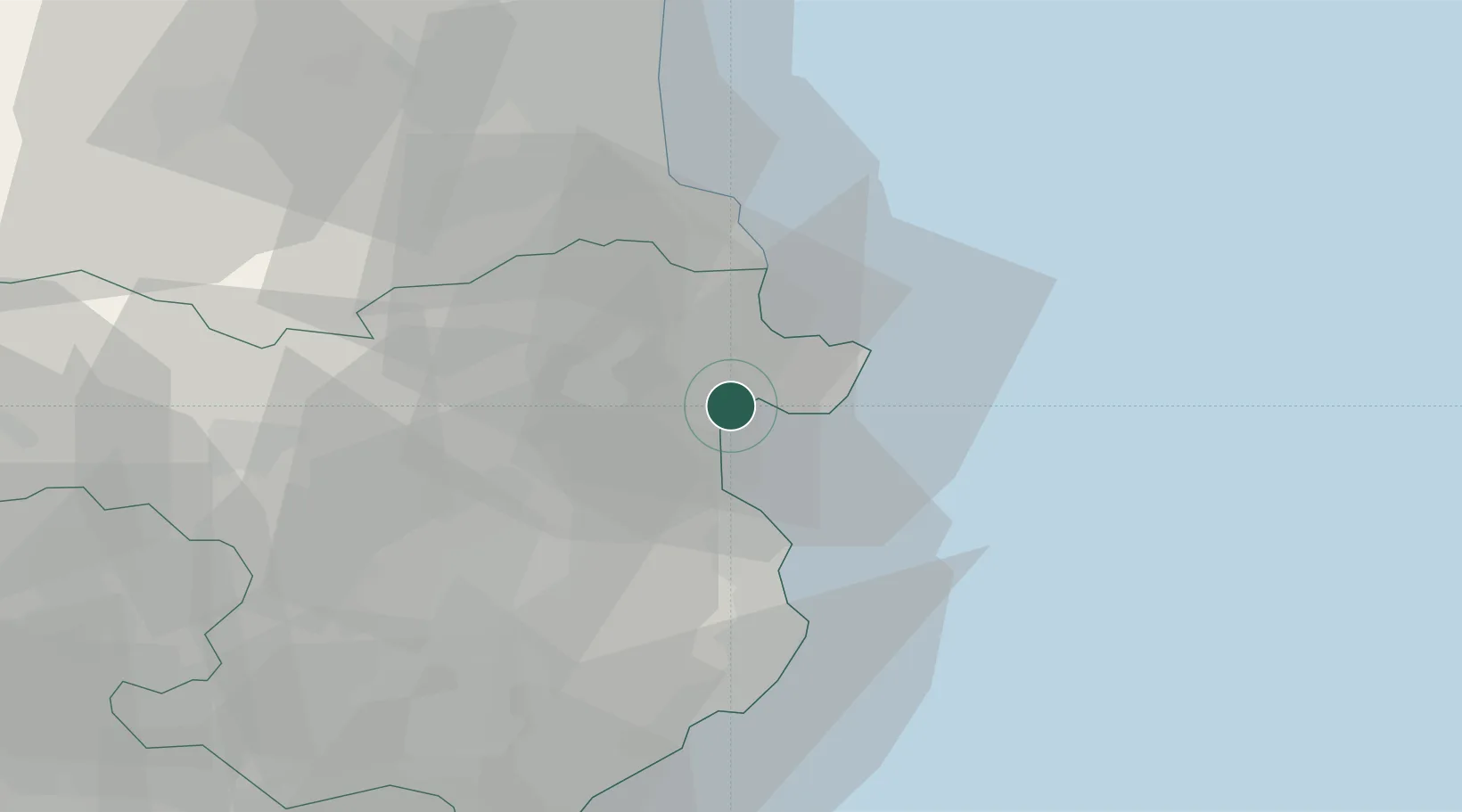
Hub Profile
Place type
Populated place
Region
Catalonia
Population
8,000
Time zone
Europe/Madrid
Elevation
2 m
Location
Nearby Logistics Neighbours
Cities
- 1Castello d'Empuries4 km
- 2San Pedro Pescador9 km
- 3Garriguella11 km
- 4Puerto de la Selva11 km
- 5Cadaqués13 km
Ports
- 1Rosas5 km
- 2Port-Vendres30 km
- 3Palamos46 km
- 4San Feliu De Guixols53 km
- 5Port-La-Nouvelle85 km
Airports
Trade Zones
- 1ZFU Perpignan54 km
- 2ZFU Béziers121 km
- 3Zona Franca de Barcelona132 km
- 4ZFU Montpellier162 km
- 5ZFU Nîmes201 km
DatabookThe Record of Consolidated Knowledge
Spain beyond logistics?