Transport Functions
Port
Multimodal
Hub Profile
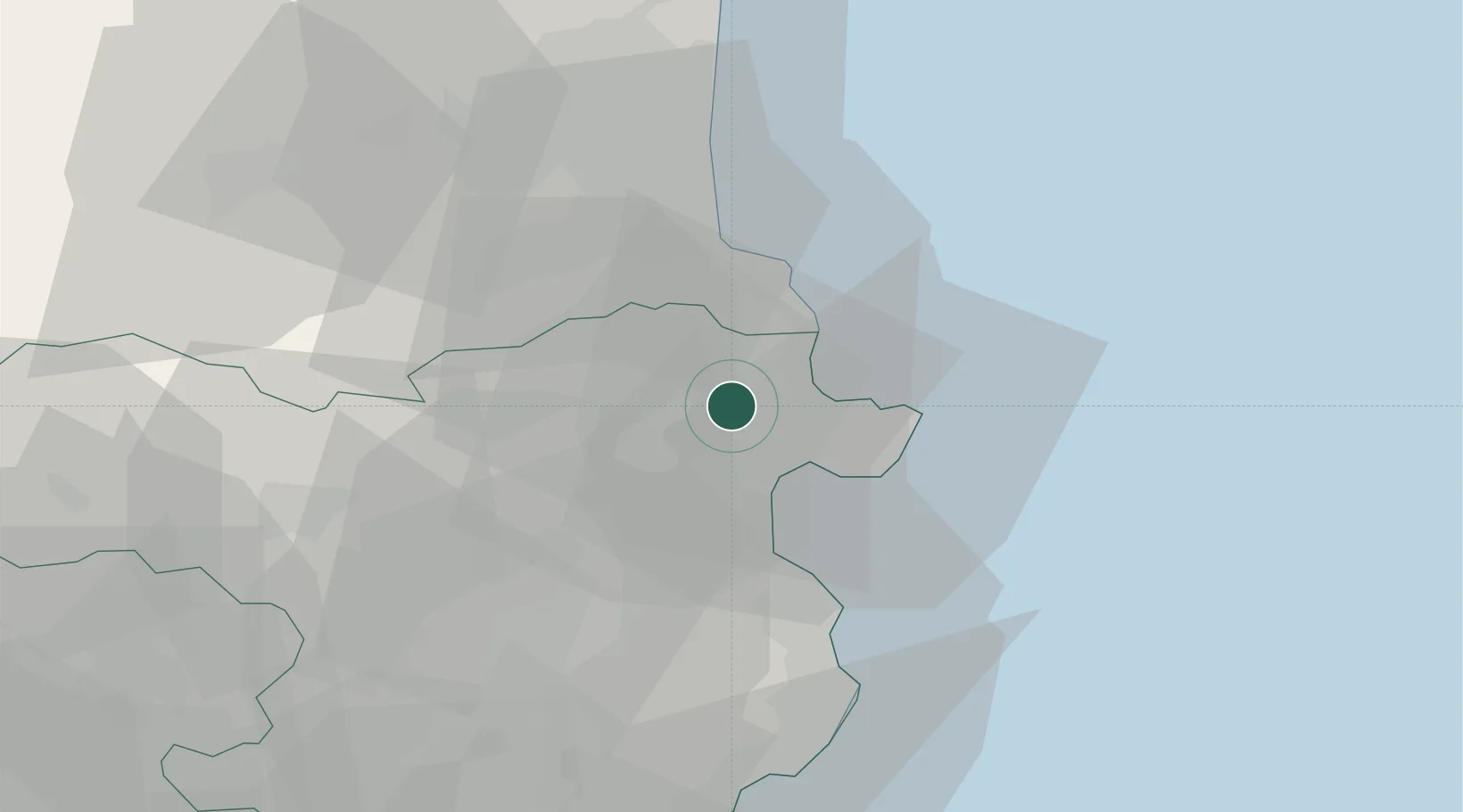
Place type
District seat
Region
Catalonia
Population
727
Time zone
Europe/Madrid
Elevation
63 m
Location
Nearby Logistics Neighbours
Cities
- 1Castello d'Empuries9 km
- 2Empuriabrava11 km
- 3Puerto de la Selva11 km
- 4Figueras11 km
- 5Capmany13 km
Ports
- 1Rosas12 km
- 2Port-Vendres21 km
- 3Palamos56 km
- 4San Feliu De Guixols61 km
- 5Port-La-Nouvelle76 km
Airports
Trade Zones
- 1ZFU Perpignan43 km
- 2ZFU Béziers112 km
- 3Zona Franca de Barcelona136 km
- 4ZFU Montpellier155 km
- 5ZFU Toulouse194 km
DatabookThe Record of Consolidated Knowledge
Spain beyond logistics?