Transport Functions
Rail
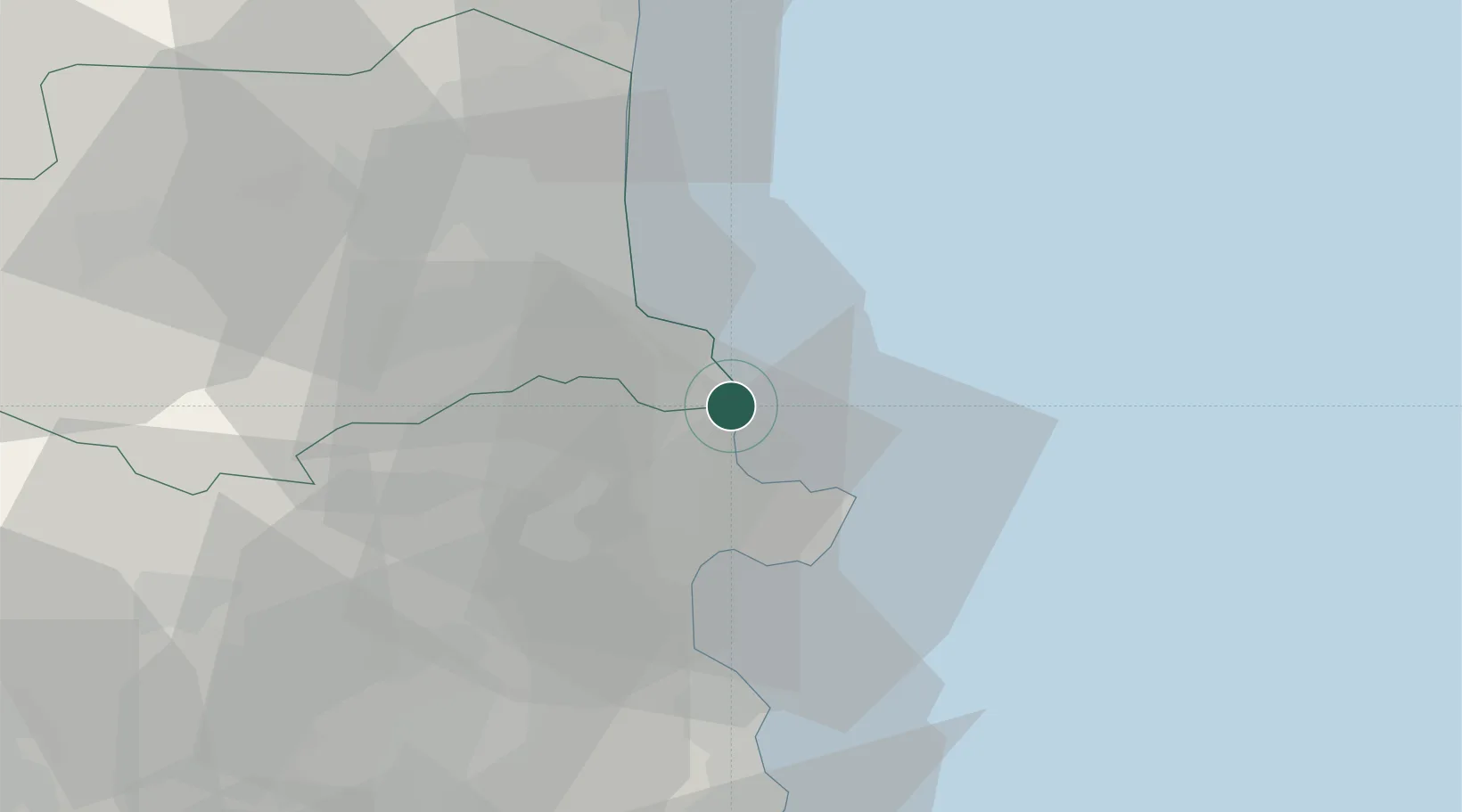
Hub Profile
Place type
Populated place
Region
Catalonia
Population
1,077
Time zone
Europe/Madrid
Elevation
18 m
Location
Nearby Logistics Neighbours
Cities
- 1Cerbère2 km
- 2Port-Vendres10 km
- 3Puerto de la Selva12 km
- 4Collioure12 km
- 5Garriguella14 km
Ports
- 1Port-Vendres10 km
- 2Rosas19 km
- 3Port-La-Nouvelle65 km
- 4Palamos67 km
- 5San Feliu De Guixols73 km
Airports
Trade Zones
- 1ZFU Perpignan37 km
- 2ZFU Béziers100 km
- 3ZFU Montpellier142 km
- 4Zona Franca de Barcelona150 km
- 5ZFU Nîmes182 km
DatabookThe Record of Consolidated Knowledge
Spain beyond logistics?