Transport Functions
Port
Road
Hub Profile
Region
GI
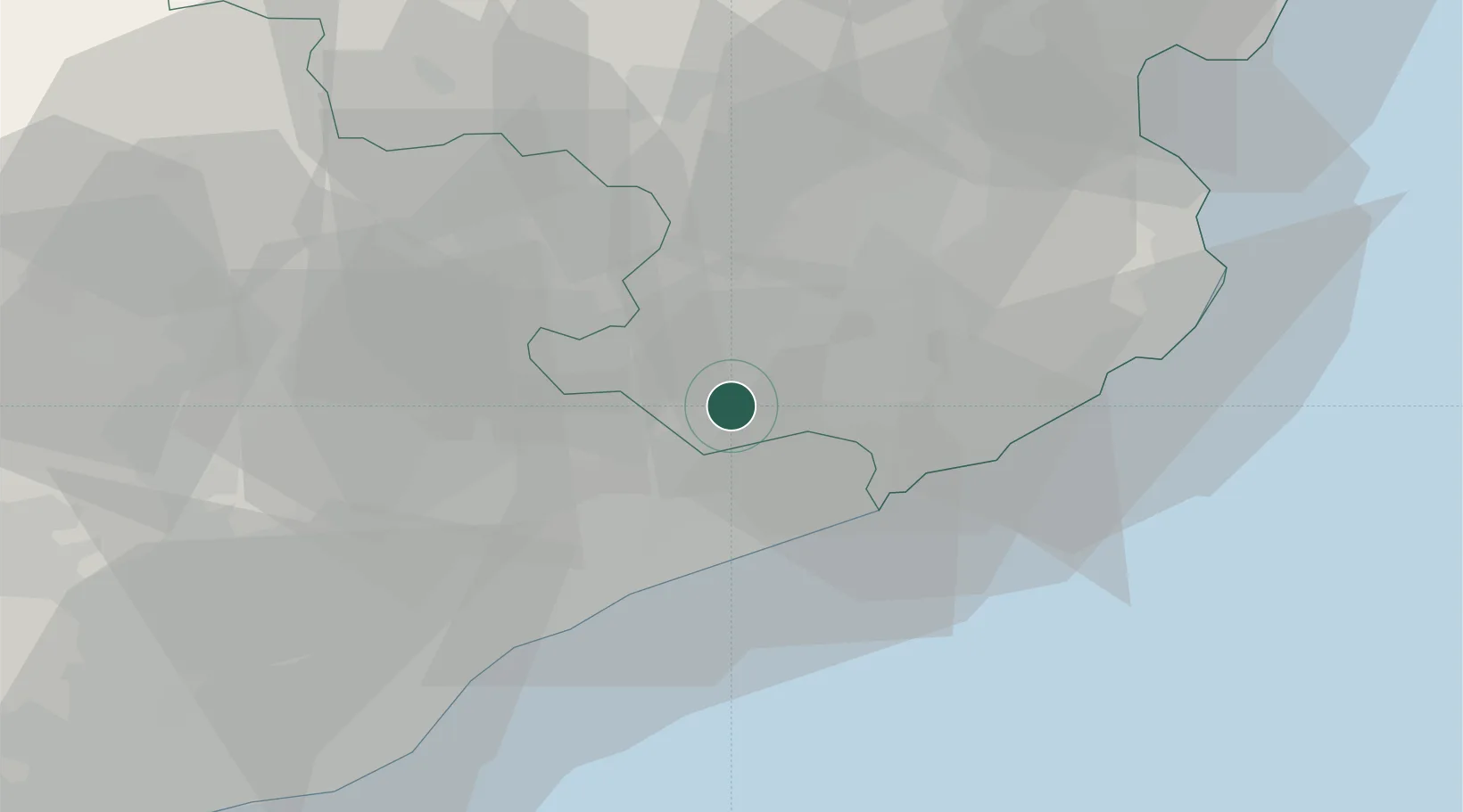
Location
Nearby Logistics Neighbours
Cities
- 1Hostalrich6 km
- 2Hostalric6 km
- 3Riells I Viabrea6 km
- 4La Batlloria8 km
- 5Sant Celoni14 km
Ports
- 1San Feliu De Guixols37 km
- 2Palamos45 km
- 3Barcelona59 km
- 4Rosas73 km
- 5Port-Vendres93 km
Airports
Trade Zones
- 1Zona Franca de Barcelona63 km
- 2ZFU Perpignan105 km
- 3Depósito Franco de Tarragona134 km
- 4ZFU Béziers180 km
- 5ZFU Toulouse223 km
DatabookThe Record of Consolidated Knowledge
Spain beyond logistics?