Transport Functions
Rail
Road
Hub Profile
Place type
District seat
Region
Catalonia
Population
16,860
Time zone
Europe/Madrid
Elevation
162 m
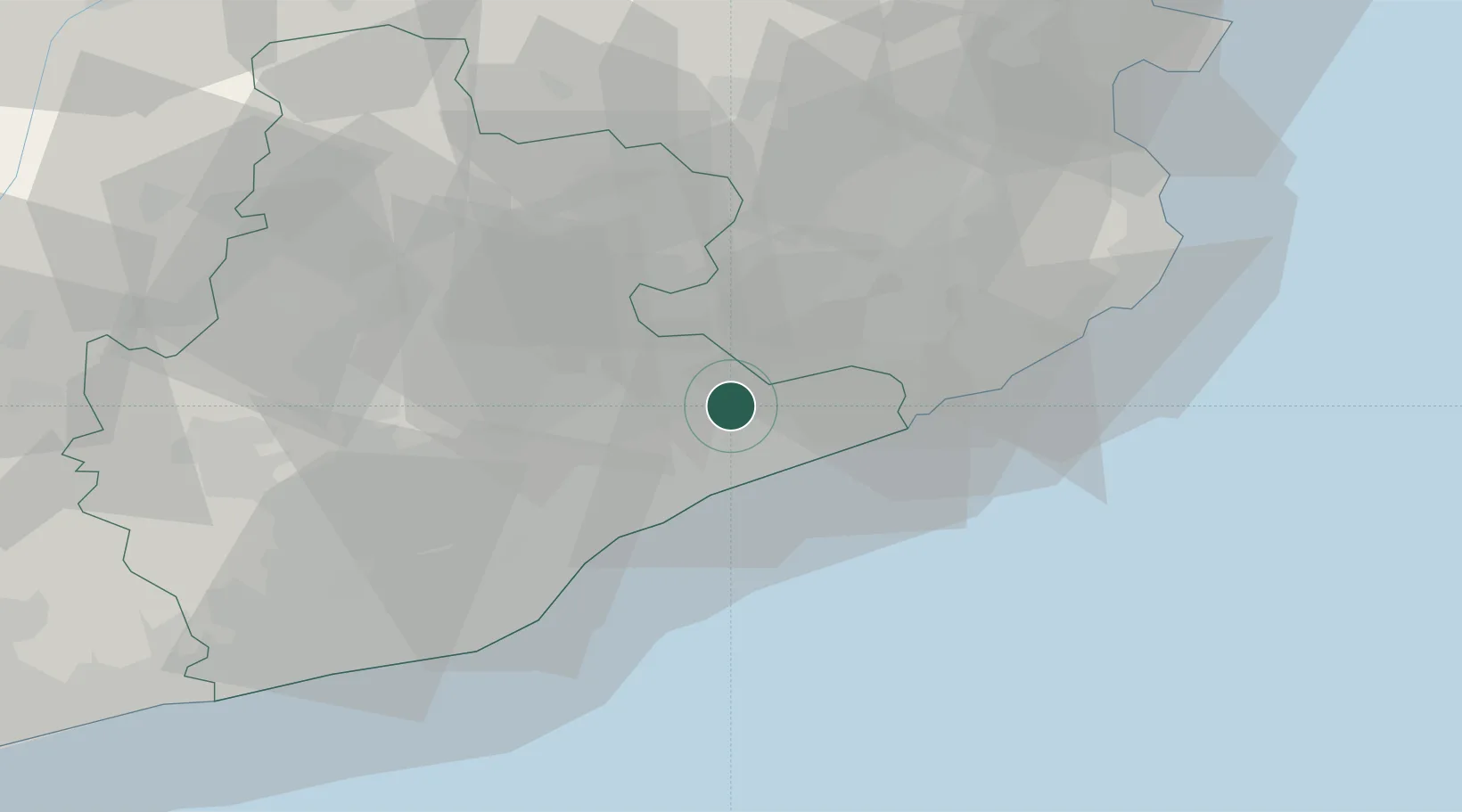
Location
Nearby Logistics Neighbours
Cities
- 1Santa Maria de Palautordera4 km
- 2La Batlloria7 km
- 3San Antoni de Vilamajor7 km
- 4San Pedro de Vilamajor8 km
- 5Riells I Viabrea9 km
Ports
- 1Barcelona46 km
- 2San Feliu De Guixols47 km
- 3Palamos55 km
- 4Villanueva Y Geltru80 km
- 5Rosas87 km
Airports
Trade Zones
- 1Zona Franca de Barcelona49 km
- 2ZFU Perpignan118 km
- 3Depósito Franco de Tarragona121 km
- 4ZFU Béziers193 km
- 5ZFU Toulouse230 km
DatabookThe Record of Consolidated Knowledge
Spain beyond logistics?