UN/LOCODE hub · Spain
ESZKU

Riells I Viabrea

41.7500°, 2.5333°
1
Transport functions

Transport Functions

Multimodal
UN/LOCODE

Hub Profile

Place type
District seat
GeoNames
Region
Catalonia
GeoNames
Time zone
Europe/Madrid
GeoNames
Elevation
573 m
GeoNames

Location

Location of ESZKU
Natural Earth 10m (public domain) · Catalonia · ESZKU · 41.75, 2.53GoogleOSMYandex

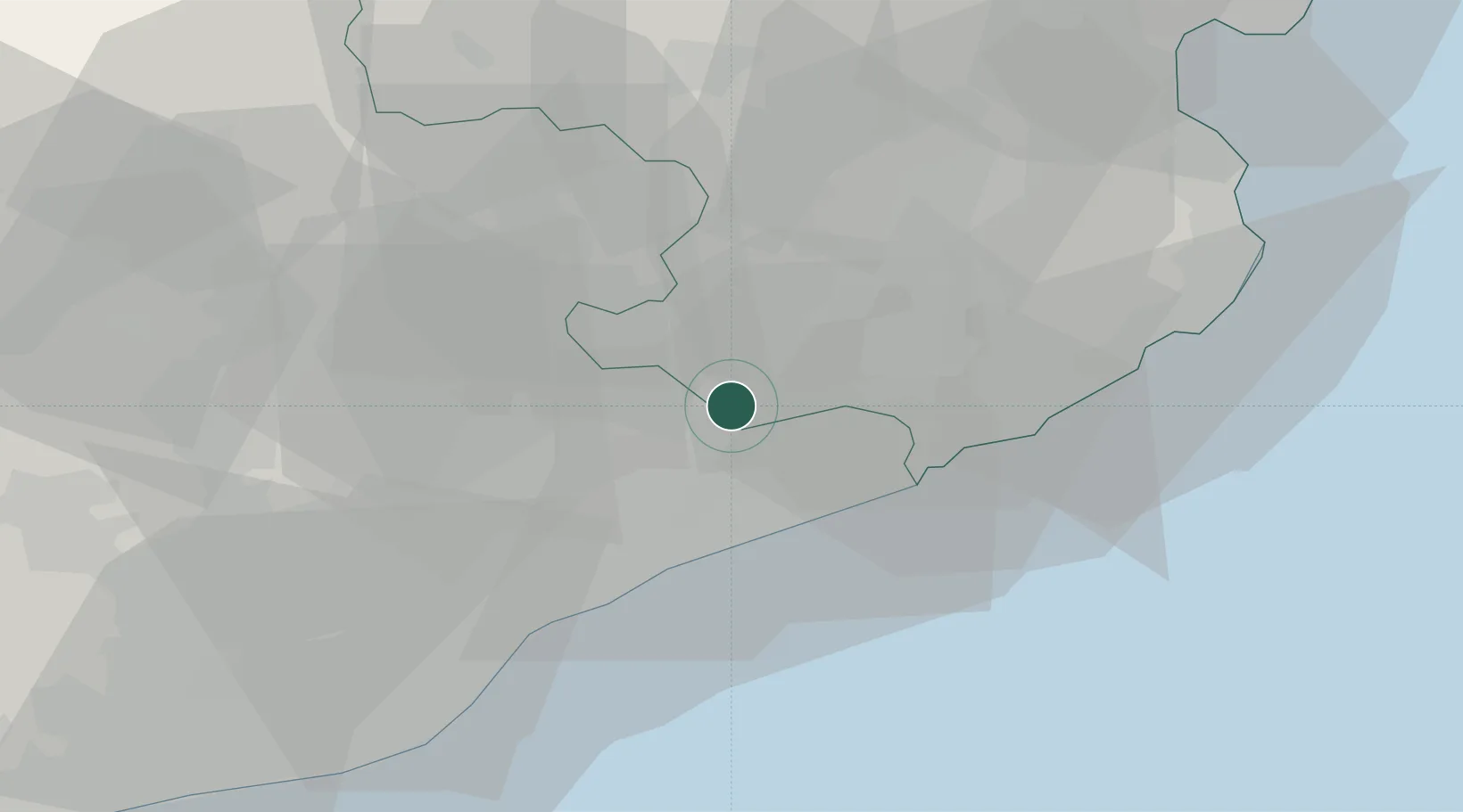
Nearby Logistics Neighbours

Cities
  1. 1La Batlloria4 km
  2. 2San Felíu de Buxalleu6 km
  3. 3Hostalrich8 km
  4. 4Hostalric8 km
  5. 5Sant Celoni9 km
Nearest neighbours — logibook spatial index (haversine) over the source coordinates
Ports
  1. 1San Feliu De Guixols42 km
  2. 2Palamos49 km
  3. 3Barcelona54 km
  4. 4Rosas79 km
  5. 5Villanueva Y Geltru88 km
Nearest neighbours — logibook spatial index (haversine) over the source coordinates
Airports
  1. 1Girona-Costa Brava Airport26 km
  2. 2Folgueroles Airfield29 km
  3. 3Josep Tarradellas Barcelona-El Prat Airport63 km
  4. 4Perpignan-Rivesaltes (Llabanère) Airport114 km
  5. 5Pirineus - la Seu d'Urgel Airport114 km
Nearest neighbours — logibook spatial index (haversine) over the source coordinates
Trade Zones
  1. 1Zona Franca de Barcelona57 km
  2. 2ZFU Perpignan110 km
  3. 3Depósito Franco de Tarragona128 km
  4. 4ZFU Béziers185 km
  5. 5ZFU Toulouse225 km
Nearest neighbours — logibook spatial index (haversine) over the source coordinates
DatabookThe Record of Consolidated Knowledge
Spain beyond logistics?
Browse databook

All Sources

LocationsUN/LOCODE
UN/LOCODE — free
Portsthe NGA World Port Index
Public domain (US gov)
AirportsOurAirports
Public domain
Trade Zonesthe World Bank SEZ database
CC BY 4.0
Trade ZonesOpen Zone Map
CC BY
← Spain locations