Transport Functions
Multimodal
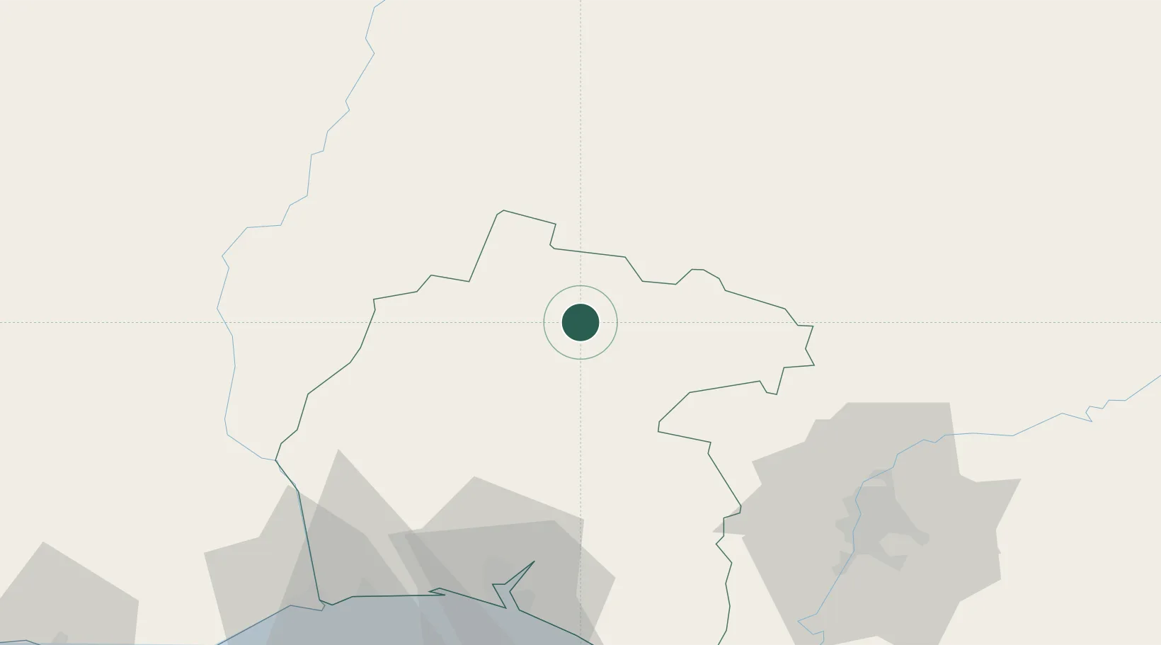
Hub Profile
Place type
District seat
Region
Andalusia
Time zone
Europe/Madrid
Elevation
658 m
Location
Nearby Logistics Neighbours
Cities
- 1Galaroza3 km
- 2Cumbres Mayores19 km
- 3Corteconcepcion21 km
- 4Higuera la Real25 km
- 5Minas de Riotinto28 km
Ports
- 1Huelva77 km
- 2Sevilla89 km
- 3Vila Real De S Antonio101 km
- 4Faro144 km
- 5Rota149 km
Airports
- 1Madroñalejos Forest Fire fighting Heliport57 km
- 2Seville Airport92 km
- 3Beja Airport / Airbase107 km
- 4Badajoz Airport109 km
- 5Évora Airfield122 km
Trade Zones
- 1Puerto de Huelva76 km
- 2Zona Franca de Sevilla91 km
- 3Zona Franca de Cádiz163 km
- 4Depósito Franco de Málaga218 km
- 5Depósito Franco de Algeciras230 km
DatabookThe Record of Consolidated Knowledge
Spain beyond logistics?