Transport Functions
Multimodal
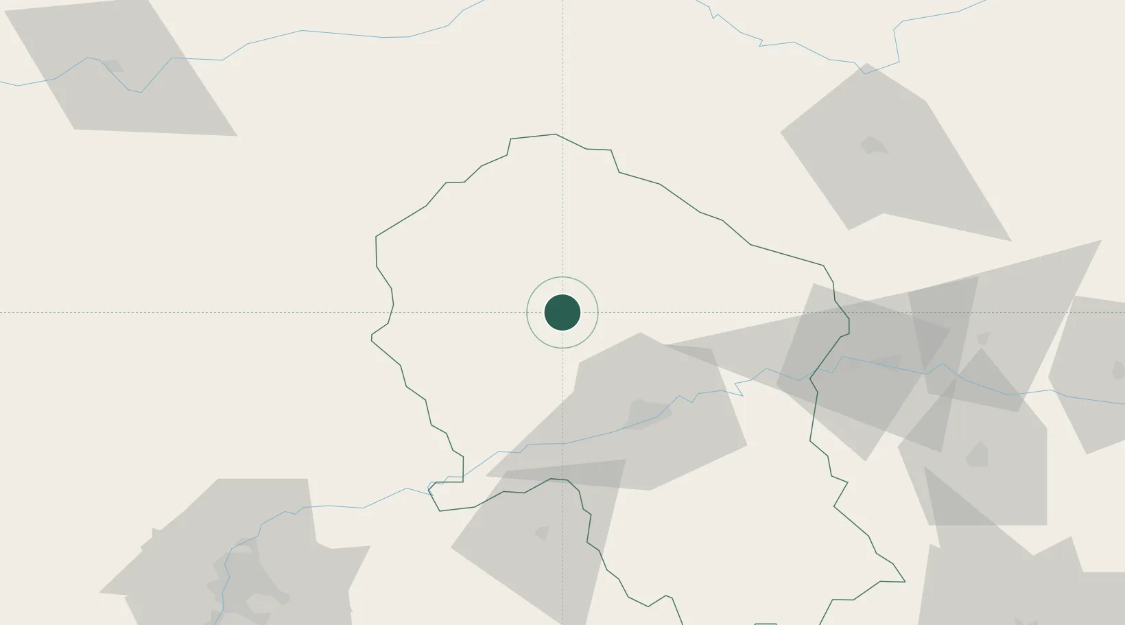
Hub Profile
Place type
District seat
Region
Andalusia
Population
2,332
Time zone
Europe/Madrid
Elevation
715 m
Location
Nearby Logistics Neighbours
Cities
- 1Hinojosa del Duque35 km
- 2Villarrubia40 km
- 3Posadas45 km
- 4Granja de Torrehermosa51 km
- 5Fuencubierta56 km
Airports
- 1Córdoba Airport42 km
- 2Seville Airport116 km
- 3Ciudad Real International Airport117 km
- 4Moron Air Base126 km
- 5Madroñalejos Forest Fire fighting Heliport134 km
Trade Zones
- 1Zona Franca de Sevilla129 km
- 2Depósito Franco de Málaga136 km
- 3Puerto de Huelva200 km
- 4Zona Franca de Cádiz219 km
- 5Depósito Franco de Algeciras234 km
DatabookThe Record of Consolidated Knowledge
Spain beyond logistics?