UN/LOCODE hub · Spain
ES2TT

Ametlla

41.5667°, 1.2500°
2
Transport functions

Transport Functions

Port
Multimodal
UN/LOCODE

Hub Profile

Place type
Populated place
GeoNames
Region
Catalonia
GeoNames
Time zone
Europe/Madrid
GeoNames
Elevation
690 m
GeoNames

Location

Location of ES2TT
Natural Earth 10m (public domain) · Catalonia · ES2TT · 41.57, 1.25GoogleOSMYandex

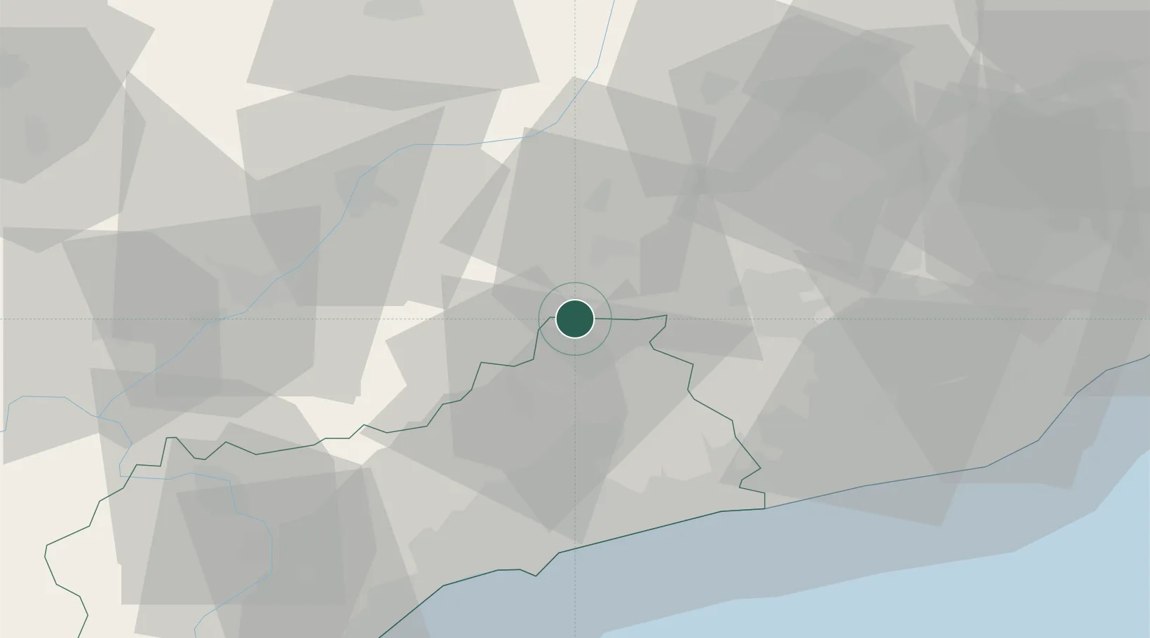
Nearby Logistics Neighbours

Cities
  1. 1Vallfogona De Riucorp2 km
  2. 2Ciutadilla9 km
  3. 3Granyanella12 km
  4. 4Sarral15 km
  5. 5Sant Guim de Freixenet17 km
Nearest neighbours — logibook spatial index (haversine) over the source coordinates
Ports
  1. 1Tarragona52 km
  2. 2Villanueva Y Geltru55 km
  3. 3Barcelona80 km
  4. 4San Feliu De Guixols150 km
  5. 5Palamos158 km
Nearest neighbours — logibook spatial index (haversine) over the source coordinates
Airports
  1. 1Reus Airport47 km
  2. 2Lleida-Alguaire Airport62 km
  3. 3Josep Tarradellas Barcelona-El Prat Airport75 km
  4. 4Pirineus - la Seu d'Urgel Airport87 km
  5. 5Folgueroles Airfield98 km
Nearest neighbours — logibook spatial index (haversine) over the source coordinates
Trade Zones
  1. 1Depósito Franco de Tarragona50 km
  2. 2Zona Franca de Barcelona77 km
  3. 3Depósito Franco de Zaragoza168 km
  4. 4ZFU Perpignan185 km
  5. 5ZFU Toulouse227 km
Nearest neighbours — logibook spatial index (haversine) over the source coordinates
DatabookThe Record of Consolidated Knowledge
Spain beyond logistics?
Browse databook

All Sources

LocationsUN/LOCODE
UN/LOCODE — free
Portsthe NGA World Port Index
Public domain (US gov)
AirportsOurAirports
Public domain
Trade Zonesthe World Bank SEZ database
CC BY 4.0
Trade ZonesOpen Zone Map
CC BY
← Spain locations