UN/LOCODE hub · Spain
ESGYA

Granyanella

41.6667°, 1.2167°
2
Transport functions

Transport Functions

Port
Road
UN/LOCODE

Hub Profile

Region
L
GeoNames

Location

Location of ESGYA
Natural Earth 10m (public domain) · L · ESGYA · 41.67, 1.22GoogleOSMYandex

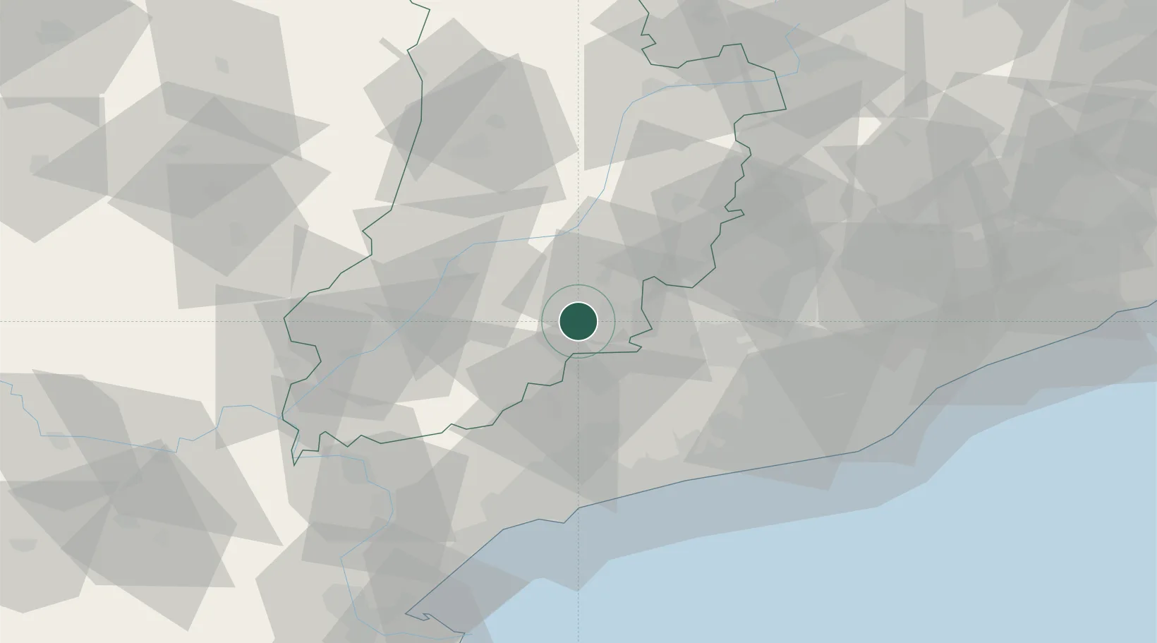
Nearby Logistics Neighbours

Cities
  1. 1Ametlla12 km
  2. 2Vallfogona De Riucorp13 km
  3. 3Guissona14 km
  4. 4Ciutadilla14 km
  5. 5Sant Guim de Freixenet17 km
Nearest neighbours — logibook spatial index (haversine) over the source coordinates
Ports
  1. 1Tarragona63 km
  2. 2Villanueva Y Geltru65 km
  3. 3Barcelona87 km
  4. 4San Feliu De Guixols151 km
  5. 5Palamos159 km
Nearest neighbours — logibook spatial index (haversine) over the source coordinates
Airports
  1. 1Lleida-Alguaire Airport57 km
  2. 2Reus Airport58 km
  3. 3Pirineus - la Seu d'Urgel Airport76 km
  4. 4Josep Tarradellas Barcelona-El Prat Airport83 km
  5. 5Folgueroles Airfield96 km
Nearest neighbours — logibook spatial index (haversine) over the source coordinates
Trade Zones
  1. 1Depósito Franco de Tarragona61 km
  2. 2Zona Franca de Barcelona84 km
  3. 3Depósito Franco de Zaragoza165 km
  4. 4ZFU Perpignan180 km
  5. 5ZFU Toulouse216 km
Nearest neighbours — logibook spatial index (haversine) over the source coordinates
DatabookThe Record of Consolidated Knowledge
Spain beyond logistics?
Browse databook

All Sources

LocationsUN/LOCODE
UN/LOCODE — free
Portsthe NGA World Port Index
Public domain (US gov)
AirportsOurAirports
Public domain
Trade Zonesthe World Bank SEZ database
CC BY 4.0
Trade ZonesOpen Zone Map
CC BY
← Spain locations