UN/LOCODE hub · Spain
ESZIW

Okondo

43.1500°, -3.0333°
1
Transport functions

Transport Functions

Multimodal
UN/LOCODE

Hub Profile

Region
VI
GeoNames

Location

Location of ESZIW
Natural Earth 10m (public domain) · VI · ESZIW · 43.15, -3.03GoogleOSMYandex

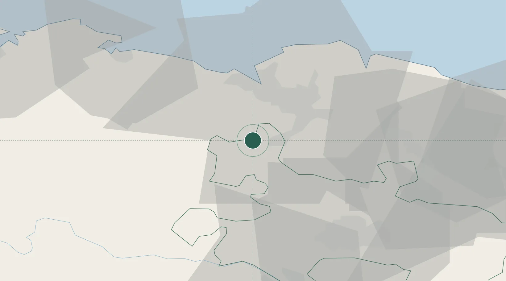
Nearby Logistics Neighbours

Cities
  1. 1Gordexola3 km
  2. 2Murga8 km
  3. 3Arciniega8 km
  4. 4Aranguren9 km
  5. 5Güeñes9 km
Nearest neighbours — logibook spatial index (haversine) over the source coordinates
Ports
  1. 1Puerto De Bilbao22 km
  2. 2Bermeo39 km
  3. 3Santander70 km
  4. 4Puerto De Pasajes91 km
  5. 5Bayonne133 km
Nearest neighbours — logibook spatial index (haversine) over the source coordinates
Airports
  1. 1Bilbao Airport20 km
  2. 2Vitoria Airport39 km
  3. 3Seve Ballesteros-Santander Airport71 km
  4. 4Logroño-Agoncillo Airport96 km
  5. 5Burgos Airport100 km
Nearest neighbours — logibook spatial index (haversine) over the source coordinates
Trade Zones
  1. 1Depósito Franco de Bilbao21 km
  2. 2Zona Franca de Santander72 km
  3. 3Depósito Franco de Pasajes (Guipúzcoa)92 km
  4. 4Depósito Franco de Villafría (Burgos)103 km
  5. 5Depósito Franco de Gijón220 km
Nearest neighbours — logibook spatial index (haversine) over the source coordinates
DatabookThe Record of Consolidated Knowledge
Spain beyond logistics?
Browse databook

All Sources

LocationsUN/LOCODE
UN/LOCODE — free
Portsthe NGA World Port Index
Public domain (US gov)
AirportsOurAirports
Public domain
Trade Zonesthe World Bank SEZ database
CC BY 4.0
Trade ZonesOpen Zone Map
CC BY
← Spain locations