Transport Functions
Rail
Road
Hub Profile
Place type
Populated place
Region
Asturias
Population
714
Time zone
Europe/Madrid
Elevation
8 m
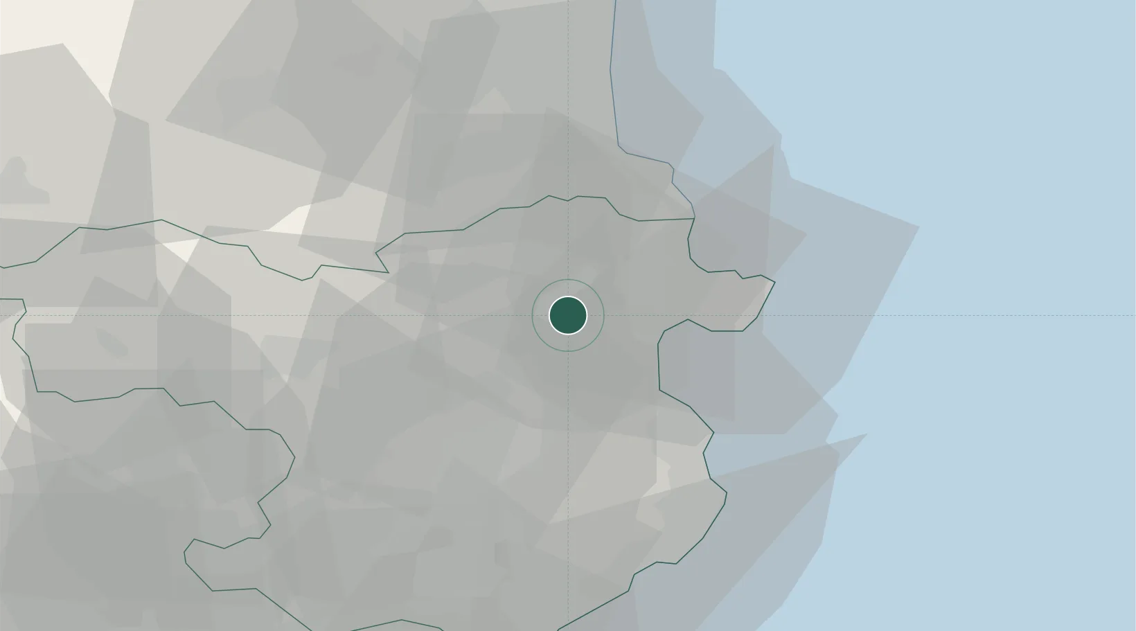
Location
Nearby Logistics Neighbours
Cities
- 1Vilafant2 km
- 2Santa Llogaia de Alguema4 km
- 3Vilamalla6 km
- 4Vilanant6 km
- 5Castello d'Empuries10 km
Ports
- 1Rosas18 km
- 2Port-Vendres30 km
- 3Palamos50 km
- 4San Feliu De Guixols54 km
- 5Port-La-Nouvelle84 km
Airports
Trade Zones
- 1ZFU Perpignan49 km
- 2ZFU Béziers121 km
- 3Zona Franca de Barcelona125 km
- 4ZFU Montpellier165 km
- 5Depósito Franco de Tarragona192 km
DatabookThe Record of Consolidated Knowledge
Spain beyond logistics?