Transport Functions
Multimodal
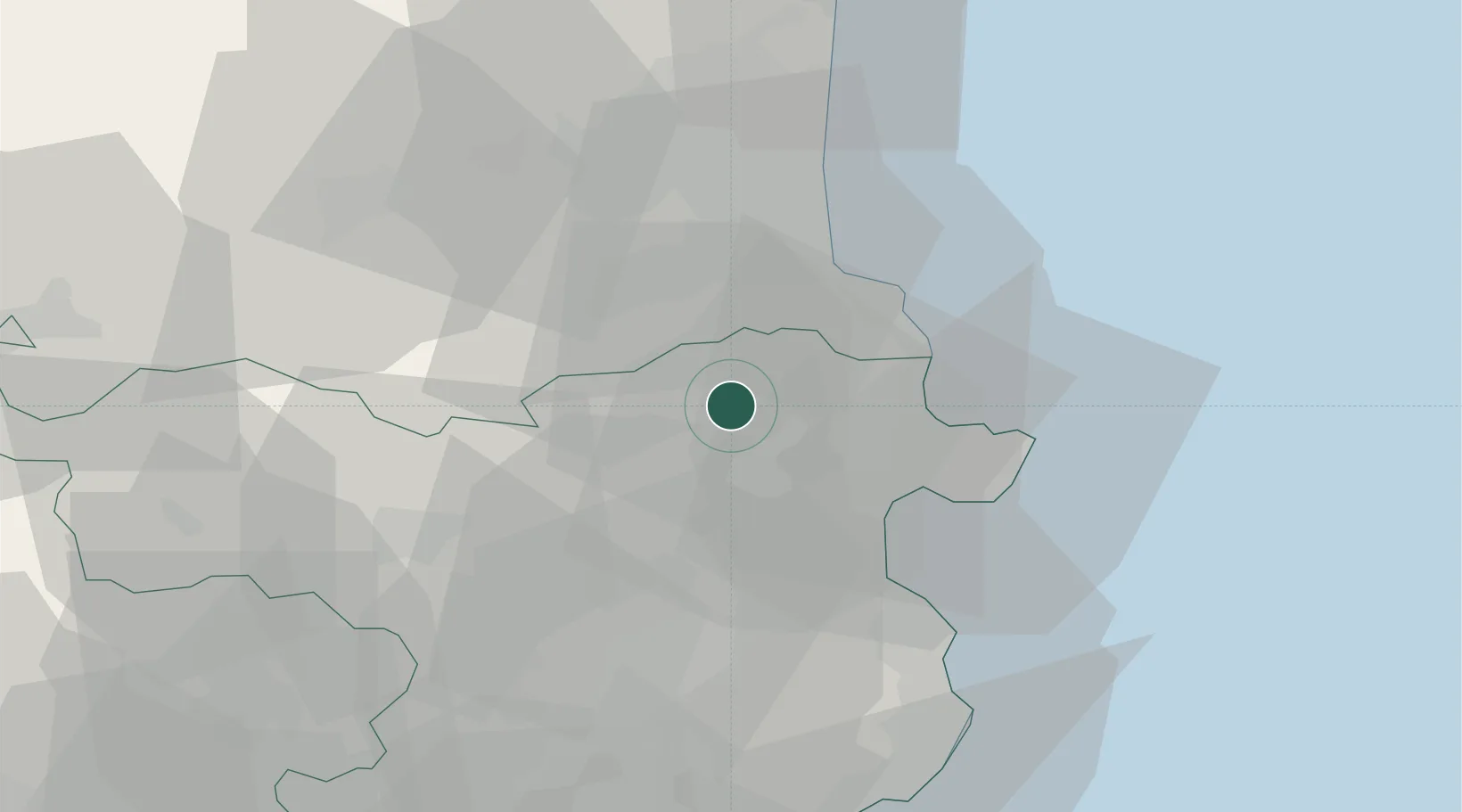
Hub Profile
Place type
District seat
Region
Catalonia
Population
487
Time zone
Europe/Madrid
Elevation
109 m
Location
Nearby Logistics Neighbours
Cities
- 1Figueras12 km
- 2Garriguella13 km
- 3Vilanant13 km
- 4Vilafant13 km
- 5Santa Llogaia de Alguema15 km
Ports
- 1Port-Vendres23 km
- 2Rosas25 km
- 3Palamos62 km
- 4San Feliu De Guixols66 km
- 5Port-La-Nouvelle73 km
Airports
Trade Zones
- 1ZFU Perpignan37 km
- 2ZFU Béziers110 km
- 3Zona Franca de Barcelona132 km
- 4ZFU Montpellier157 km
- 5ZFU Toulouse183 km
DatabookThe Record of Consolidated Knowledge
Spain beyond logistics?