Transport Functions
Road
Multimodal
Hub Profile
Place type
Populated place
Region
Basque Country
Time zone
Europe/Madrid
Elevation
117 m
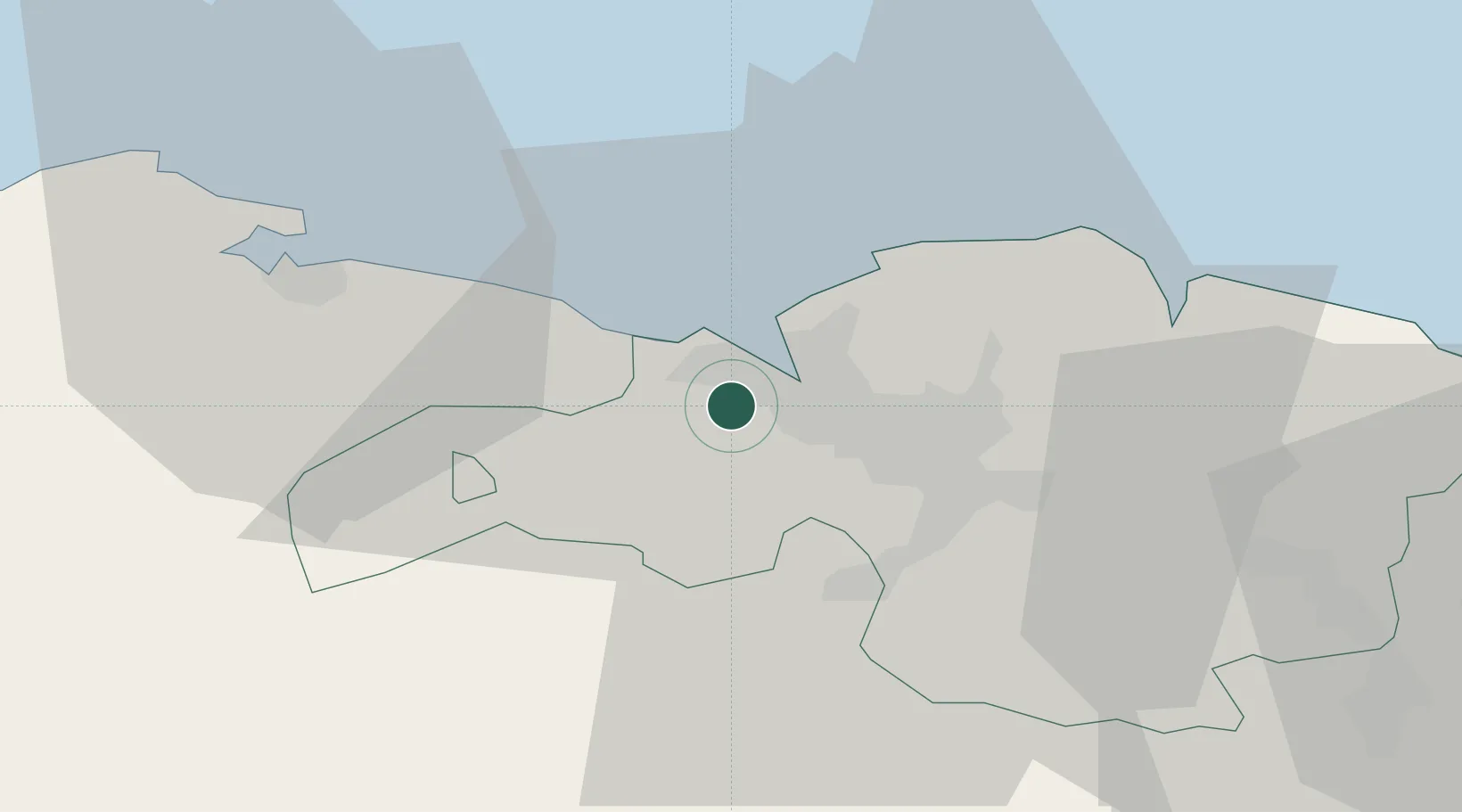
Location
Nearby Logistics Neighbours
Ports
- 1Puerto De Bilbao6 km
- 2Bermeo31 km
- 3Santander61 km
- 4Puerto De Pasajes92 km
- 5Bayonne131 km
Airports
- 1Bilbao Airport13 km
- 2Vitoria Airport54 km
- 3Seve Ballesteros-Santander Airport63 km
- 4San Sebastián Airport103 km
- 5Logroño-Agoncillo Airport111 km
Trade Zones
DatabookThe Record of Consolidated Knowledge
Spain beyond logistics?