Transport Functions
Port
Hub Profile
Place type
Populated place
Region
Valencia
Time zone
Europe/Madrid
Elevation
13 m
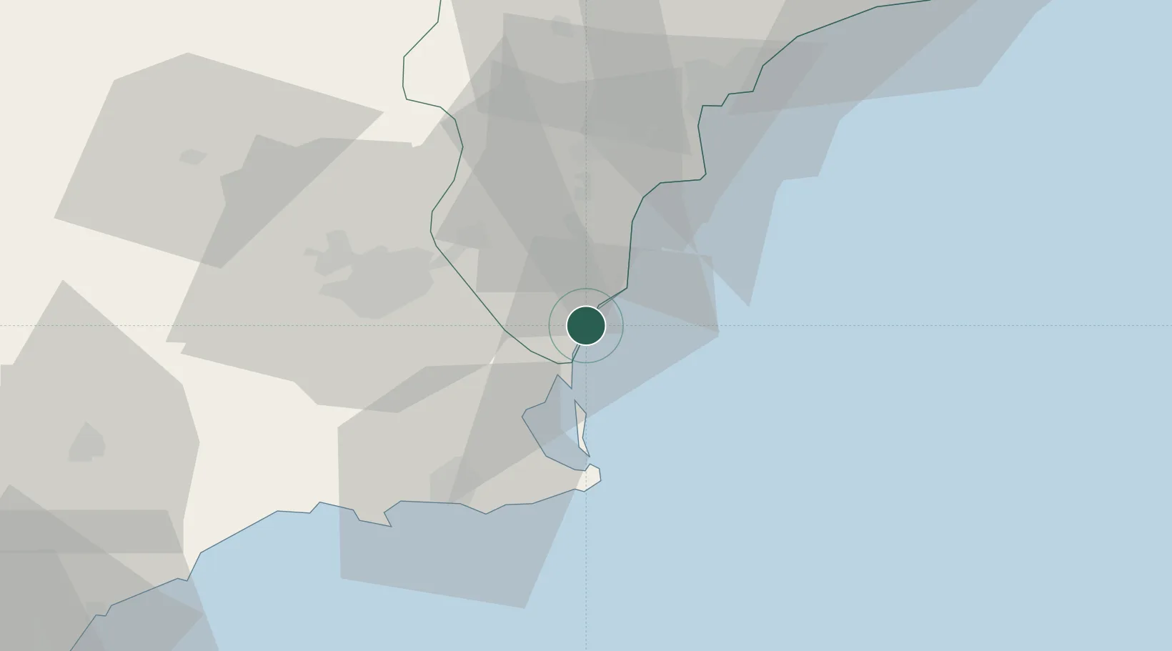
Location
Nearby Logistics Neighbours
Cities
- 1Campoamor2 km
- 2Torre Horadada6 km
- 3El Mirador14 km
- 4San Cayetano18 km
- 5Formentera de Segura19 km
Ports
- 1Torrevieja7 km
- 2Cartagena43 km
- 3Alicante51 km
- 4Aguilas93 km
- 5Puerto De Garrucha126 km
Airports
Trade Zones
- 1Depósito Franco de Alicante51 km
- 2Depósito Franco de Valencia174 km
- 3Depósito Franco de Málaga348 km
- 4Melilla Autonomous Community352 km
- 5Berkane Agro-Pole359 km
DatabookThe Record of Consolidated Knowledge
Spain beyond logistics?