UN/LOCODE hub · Spain
ESTHO

Torre Horadada

37.8667°, -0.7500°
1
Transport functions

Transport Functions

Port
UN/LOCODE

Hub Profile

Region
A
GeoNames

Location

Location of ESTHO
Natural Earth 10m (public domain) · A · ESTHO · 37.87, -0.75GoogleOSMYandex

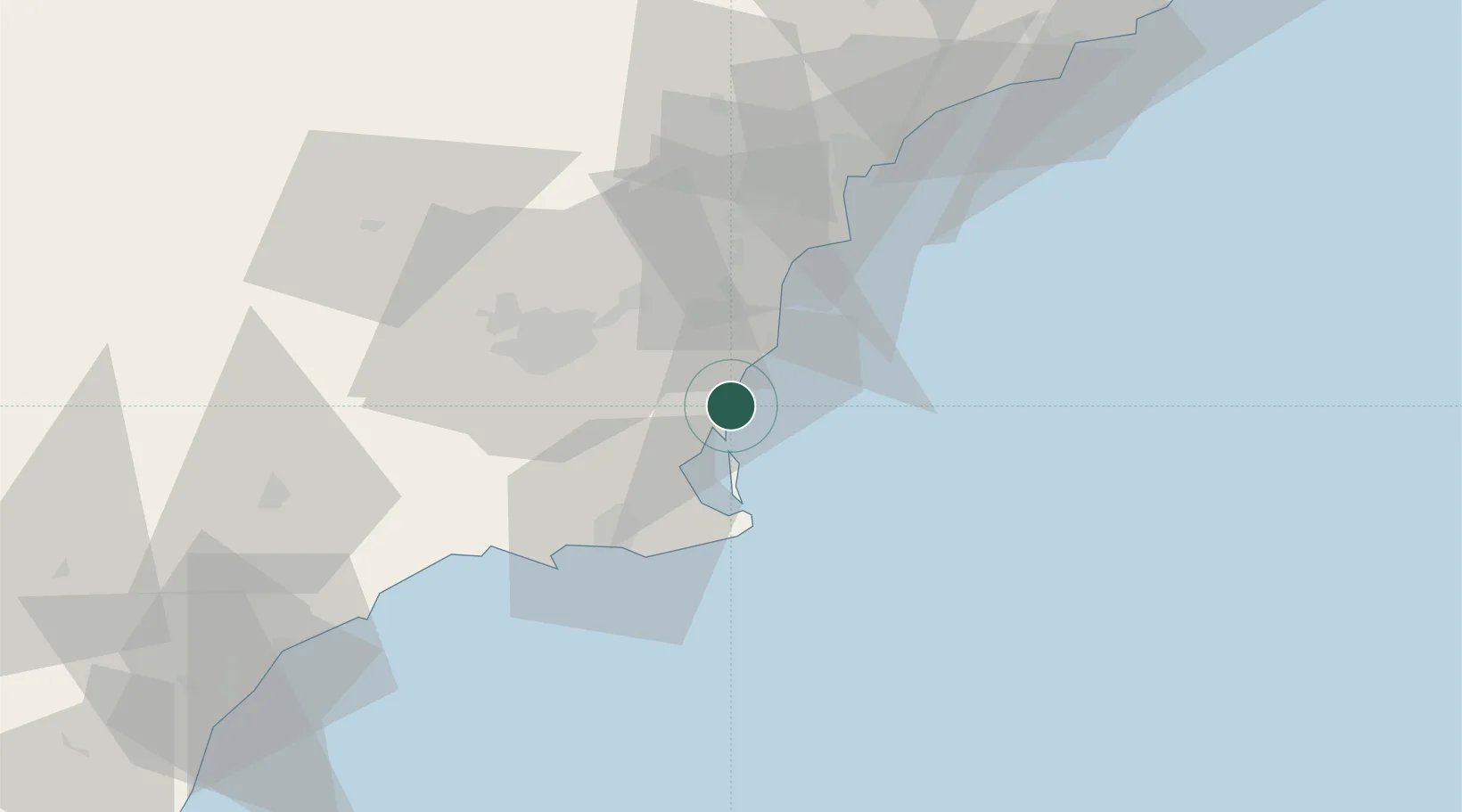
Nearby Logistics Neighbours

Cities
  1. 1Campoamor4 km
  2. 2Cabo Roig6 km
  3. 3El Mirador10 km
  4. 4San Cayetano14 km
  5. 5Balsicas18 km
Nearest neighbours — logibook spatial index (haversine) over the source coordinates
Ports
  1. 1Torrevieja13 km
  2. 2Cartagena38 km
  3. 3Alicante57 km
  4. 4Aguilas89 km
  5. 5Puerto De Garrucha121 km
Nearest neighbours — logibook spatial index (haversine) over the source coordinates
Airports
  1. 1San Javier Airport12 km
  2. 2Region of Murcia International Airport34 km
  3. 3Alcantarilla Air Base43 km
  4. 4Alicante-Elche Miguel Hernández Airport49 km
  5. 5Albacete Airport / Los Llanos Air Base155 km
Nearest neighbours — logibook spatial index (haversine) over the source coordinates
Trade Zones
  1. 1Depósito Franco de Alicante57 km
  2. 2Depósito Franco de Valencia180 km
  3. 3Depósito Franco de Málaga346 km
  4. 4Melilla Autonomous Community347 km
  5. 5Berkane Agro-Pole353 km
Nearest neighbours — logibook spatial index (haversine) over the source coordinates
DatabookThe Record of Consolidated Knowledge
Spain beyond logistics?
Browse databook

All Sources

LocationsUN/LOCODE
UN/LOCODE — free
Portsthe NGA World Port Index
Public domain (US gov)
AirportsOurAirports
Public domain
Trade Zonesthe World Bank SEZ database
CC BY 4.0
Trade ZonesOpen Zone Map
CC BY
← Spain locations