UN/LOCODE hub · Spain
ESMDF

El Mirador

37.8333°, -0.8500°
2
Transport functions

Transport Functions

Road
Multimodal
UN/LOCODE

Hub Profile

Region
MU
GeoNames

Location

Location of ESMDF
Natural Earth 10m (public domain) · MU · ESMDF · 37.83, -0.85GoogleOSMYandex

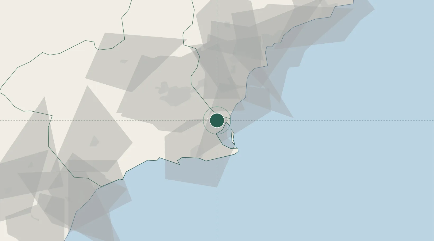
Nearby Logistics Neighbours

Cities
  1. 1San Cayetano5 km
  2. 2Balsicas9 km
  3. 3Torre Horadada10 km
  4. 4Campoamor12 km
  5. 5Roldan14 km
Nearest neighbours — logibook spatial index (haversine) over the source coordinates
Ports
  1. 1Torrevieja21 km
  2. 2Cartagena30 km
  3. 3Alicante64 km
  4. 4Aguilas79 km
  5. 5Puerto De Garrucha112 km
Nearest neighbours — logibook spatial index (haversine) over the source coordinates
Airports
  1. 1San Javier Airport7 km
  2. 2Region of Murcia International Airport24 km
  3. 3Alcantarilla Air Base36 km
  4. 4Alicante-Elche Miguel Hernández Airport56 km
  5. 5Albacete Airport / Los Llanos Air Base152 km
Nearest neighbours — logibook spatial index (haversine) over the source coordinates
Trade Zones
  1. 1Depósito Franco de Alicante64 km
  2. 2Depósito Franco de Valencia185 km
  3. 3Depósito Franco de Málaga336 km
  4. 4Melilla Autonomous Community339 km
  5. 5Berkane Agro-Pole347 km
Nearest neighbours — logibook spatial index (haversine) over the source coordinates
DatabookThe Record of Consolidated Knowledge
Spain beyond logistics?
Browse databook

All Sources

LocationsUN/LOCODE
UN/LOCODE — free
Portsthe NGA World Port Index
Public domain (US gov)
AirportsOurAirports
Public domain
Trade Zonesthe World Bank SEZ database
CC BY 4.0
Trade ZonesOpen Zone Map
CC BY
← Spain locations