Seaport · Spain
AlicanteESALC
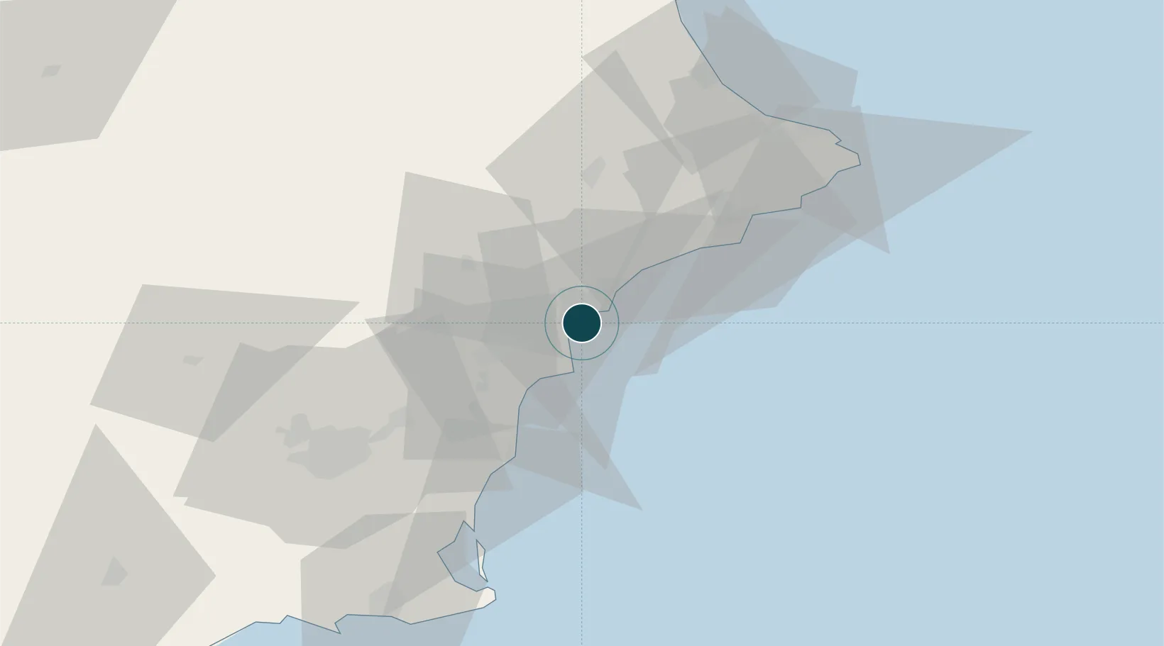
38.3333°, -0.4833°
14.0 m
Channel depth
1
Container terminals
47.7
Port liner connectivity
Channel & Berth Profile
Pilotage, Tugs & Services
Pilotage compulsoryYES
Pilotage availableYES
Tug assistanceYES
Potable waterYES
Diesel bunkersYES
MedicalYES
Garbage disposalYES
Facilities & Capabilities
Container—
Ro-Ro—
Liquid bulk—
Dry bulk—
Oil terminal—
Break bulk—
Dry dock—
Repairs—
BunkeringYES
Rail linkYES
Dangerous cargo—
ISPS security—
Harbour Specifications
Harbour size
Medium
Harbour type
Coastal (Breakwater)
Shelter
Fair
Water body
Mediterranean Sea; North Atlantic Ocean
Pilotage
Yes
Liner Connectivity
47.7
PLSCI
Port Liner Shipping Connectivity Index for Alicante, as published by UNCTAD for the latest available quarter. Higher values indicate stronger scheduled liner-shipping integration.
Shown relative to the highest per-port PLSCI in the dataset (1,657.9).
Location
Container Terminals · 1
TERMINAL MARITIMA DEL SURESTE
TMS TERMINALES MARITIMAS DEL SURESTE S.A.
Nearby Logistics Neighbours
Ports
- 1Torrevieja44 km
- 2Puerto De Gandia80 km
- 3Cartagena94 km
- 4Valencia125 km
- 5Aguilas141 km
Cities
- 1San Juan de Alicante9 km
- 2Muchamiel10 km
- 3Torrellano10 km
- 4Montesinos22 km
- 5Santa Agueda32 km
Airports
Trade Zones
DatabookThe Record of Consolidated Knowledge
Spain beyond logistics?