UN/LOCODE hub · Spain
ESFDS

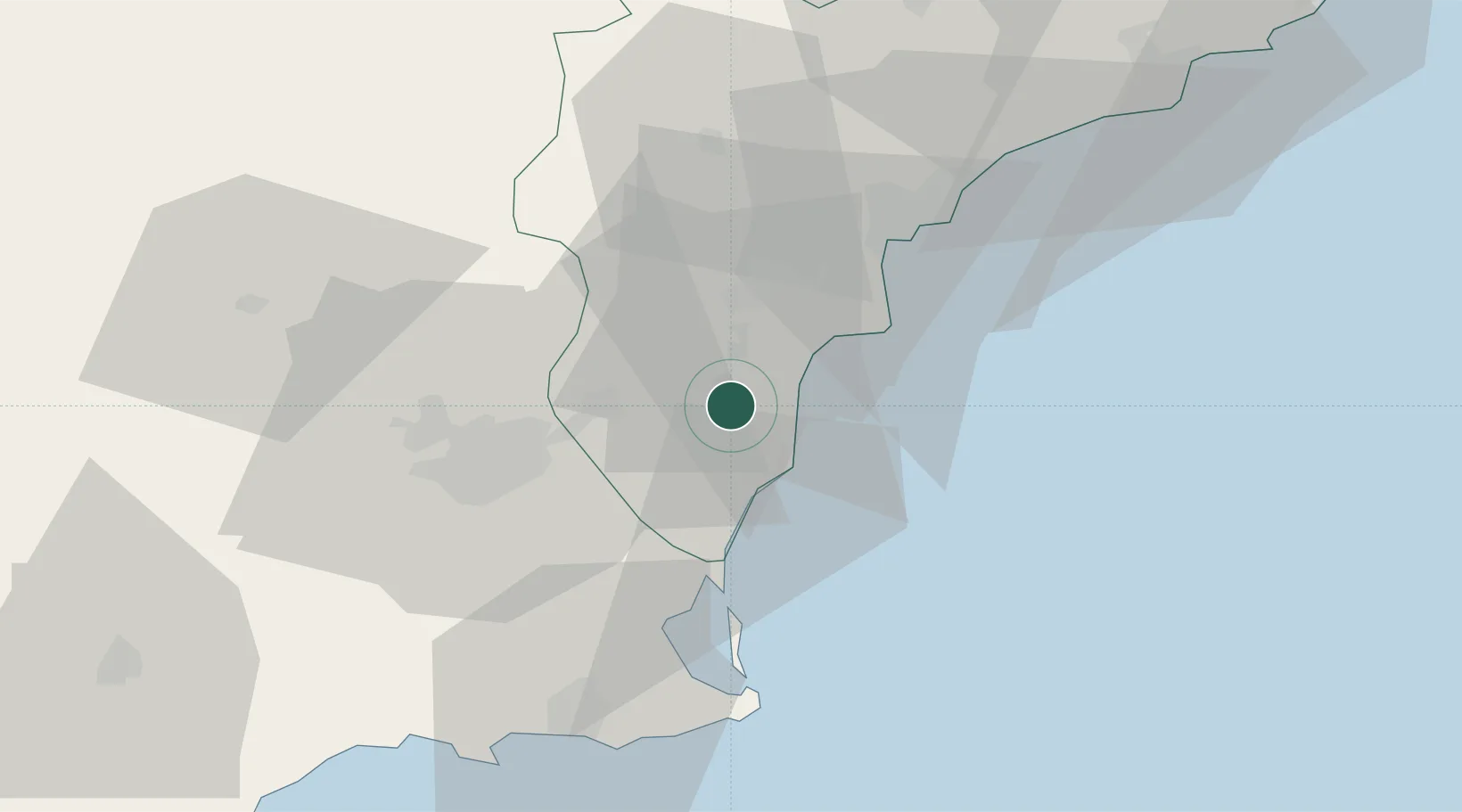
Formentera de Segura

38.0833°, -0.7500°
2,765
Population
2
Transport functions

Transport Functions

Road
Multimodal
UN/LOCODE

Hub Profile

Place type
Populated place
GeoNames
Region
Valencia
GeoNames
Population
2,765
GeoNames
Time zone
Europe/Madrid
GeoNames
Elevation
11 m
GeoNames

Location

Location of ESFDS
Natural Earth 10m (public domain) · Valencia · ESFDS · 38.08, -0.75GoogleOSMYandex

Nearby Logistics Neighbours

Cities
  1. 1Santa Agueda10 km
  2. 2Cox13 km
  3. 3Cabo Roig19 km
  4. 4Campoamor20 km
  5. 5Torre Horadada24 km
Nearest neighbours — logibook spatial index (haversine) over the source coordinates
Ports
  1. 1Torrevieja14 km
  2. 2Alicante36 km
  3. 3Cartagena59 km
  4. 4Aguilas105 km
  5. 5Puerto De Gandia115 km
Nearest neighbours — logibook spatial index (haversine) over the source coordinates
Airports
  1. 1Alicante-Elche Miguel Hernández Airport28 km
  2. 2San Javier Airport35 km
  3. 3Alcantarilla Air Base45 km
  4. 4Region of Murcia International Airport45 km
  5. 5Albacete Airport / Los Llanos Air Base137 km
Nearest neighbours — logibook spatial index (haversine) over the source coordinates
Trade Zones
  1. 1Depósito Franco de Alicante36 km
  2. 2Depósito Franco de Valencia156 km
  3. 3Depósito Franco de Málaga352 km
  4. 4Depósito Franco de Madrid-Aeropuerto359 km
  5. 5Melilla Autonomous Community367 km
Nearest neighbours — logibook spatial index (haversine) over the source coordinates
DatabookThe Record of Consolidated Knowledge
Spain beyond logistics?
Browse databook

All Sources

LocationsUN/LOCODE
UN/LOCODE — free
LocationsGeoNames
CC BY 4.0
Portsthe NGA World Port Index
Public domain (US gov)
AirportsOurAirports
Public domain
Trade Zonesthe World Bank SEZ database
CC BY 4.0
Trade ZonesOpen Zone Map
CC BY
← Spain locations