Transport Functions
Rail
Road
Hub Profile
Place type
District seat
Region
Catalonia
Population
885
Time zone
Europe/Madrid
Elevation
47 m
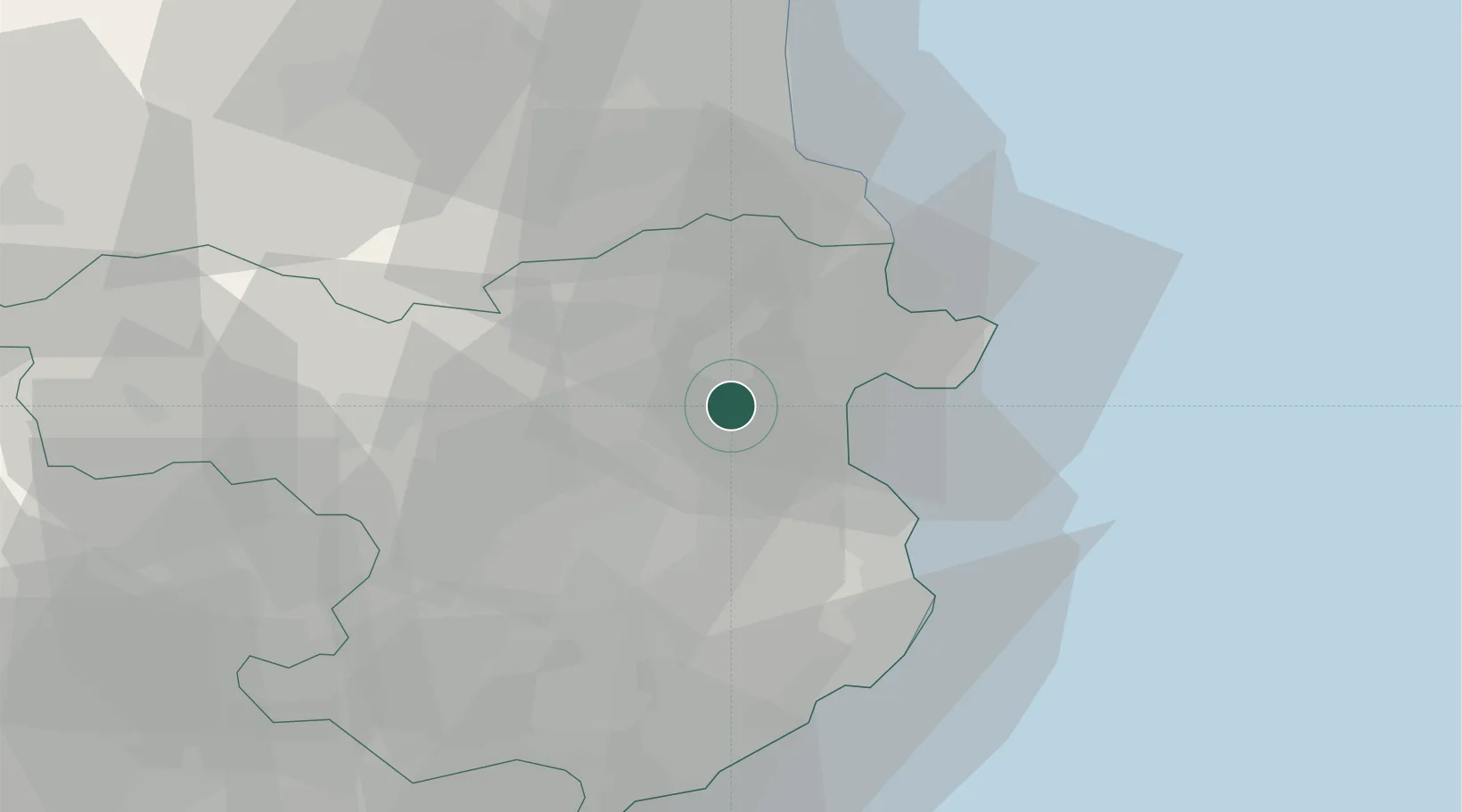
Location
Nearby Logistics Neighbours
Cities
- 1Santa Llogaia de Alguema2 km
- 2Vilafant4 km
- 3Figueras6 km
- 4Sant Miquel de Fluvià6 km
- 5Vilanant7 km
Ports
- 1Rosas19 km
- 2Port-Vendres36 km
- 3Palamos44 km
- 4San Feliu De Guixols49 km
- 5Port-La-Nouvelle89 km
Airports
Trade Zones
- 1ZFU Perpignan54 km
- 2Zona Franca de Barcelona120 km
- 3ZFU Béziers126 km
- 4ZFU Montpellier170 km
- 5Depósito Franco de Tarragona188 km
DatabookThe Record of Consolidated Knowledge
Spain beyond logistics?