Transport Functions
Port
Hub Profile
Place type
Populated place
Region
Murcia
Time zone
Europe/Madrid
Elevation
18 m
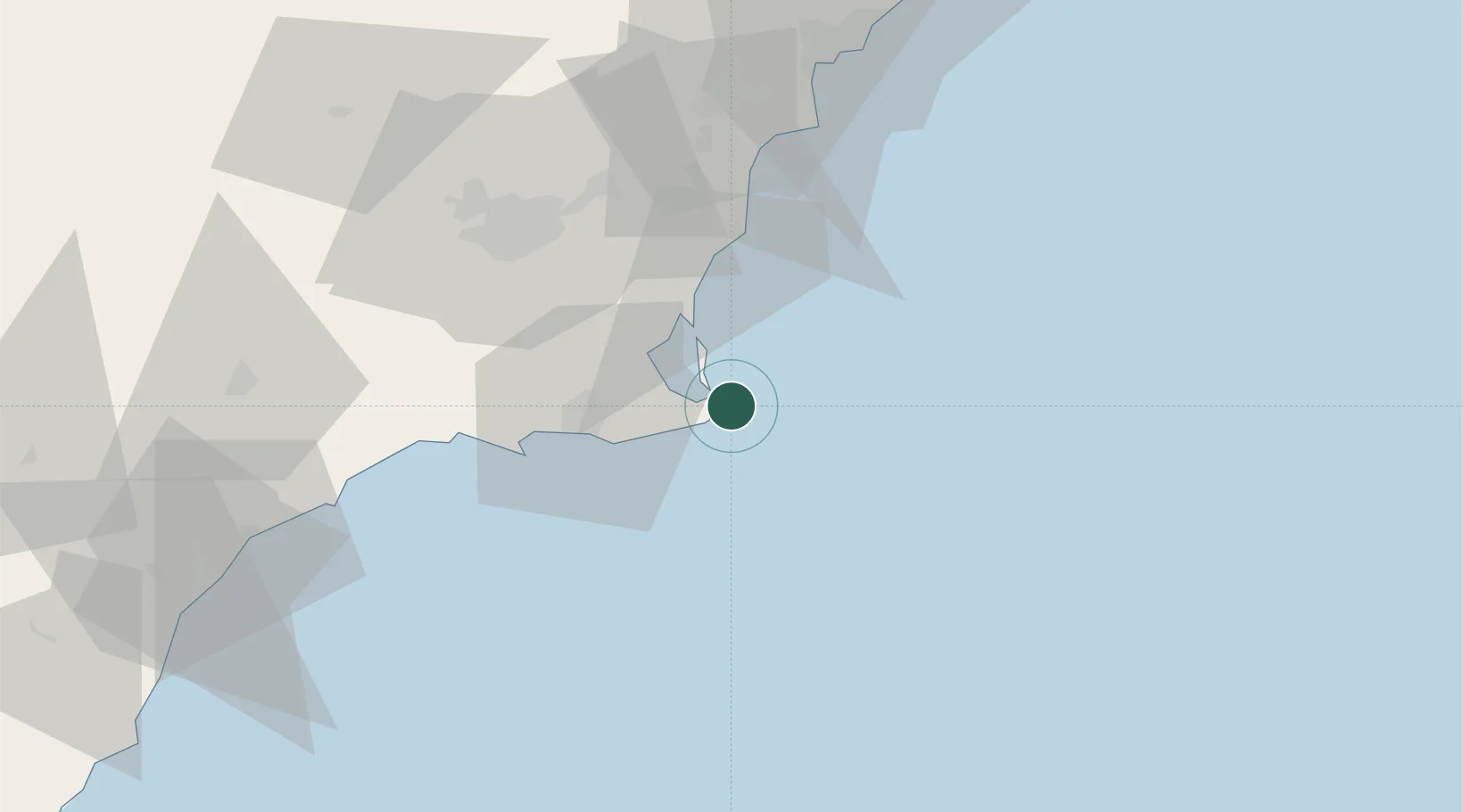
Location
Nearby Logistics Neighbours
Cities
- 1La Union16 km
- 2Rejected22 km
- 3La Aparecida24 km
- 4Cartagena26 km
- 5Torre Horadada27 km
Ports
- 1Cartagena27 km
- 2Torrevieja37 km
- 3Alicante80 km
- 4Aguilas82 km
- 5Puerto De Garrucha112 km
Airports
Trade Zones
- 1Depósito Franco de Alicante80 km
- 2Depósito Franco de Valencia204 km
- 3Melilla Autonomous Community329 km
- 4Berkane Agro-Pole333 km
- 5Depósito Franco de Málaga346 km
DatabookThe Record of Consolidated Knowledge
Spain beyond logistics?