Transport Functions
Port
Road
Hub Profile
Region
MU
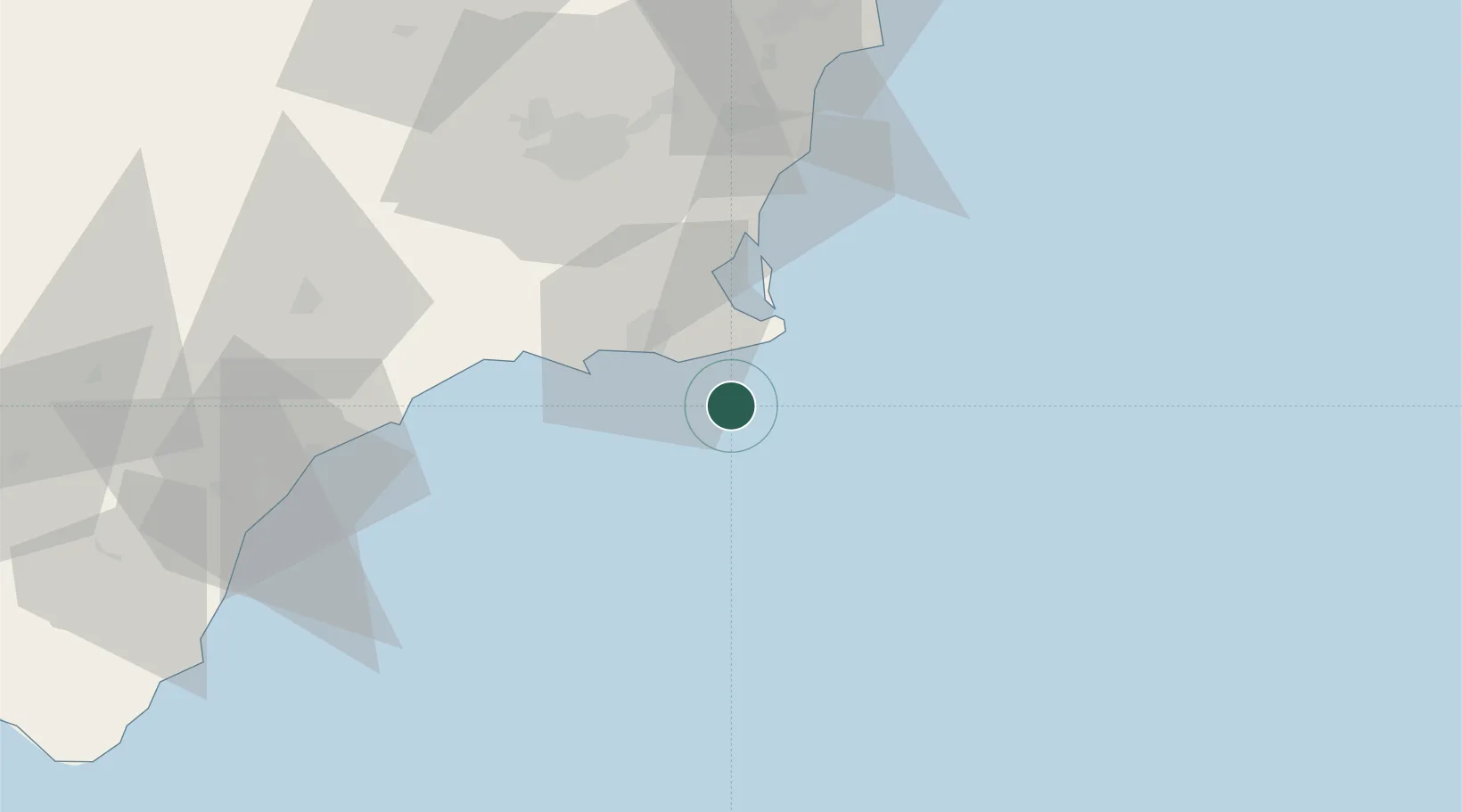
Location
Nearby Logistics Neighbours
Cities
- 1La Union17 km
- 2Cartagena20 km
- 3Cabo de Palos22 km
- 4La Aparecida25 km
- 5Jimenado37 km
Ports
- 1Cartagena20 km
- 2Torrevieja57 km
- 3Aguilas67 km
- 4Puerto De Garrucha94 km
- 5Alicante101 km
Airports
Trade Zones
- 1Depósito Franco de Alicante101 km
- 2Depósito Franco de Valencia225 km
- 3Melilla Autonomous Community307 km
- 4Berkane Agro-Pole311 km
- 5Nador WestMed Free Zone325 km
DatabookThe Record of Consolidated Knowledge
Spain beyond logistics?