UN/LOCODE hub · Spain
ESCAR
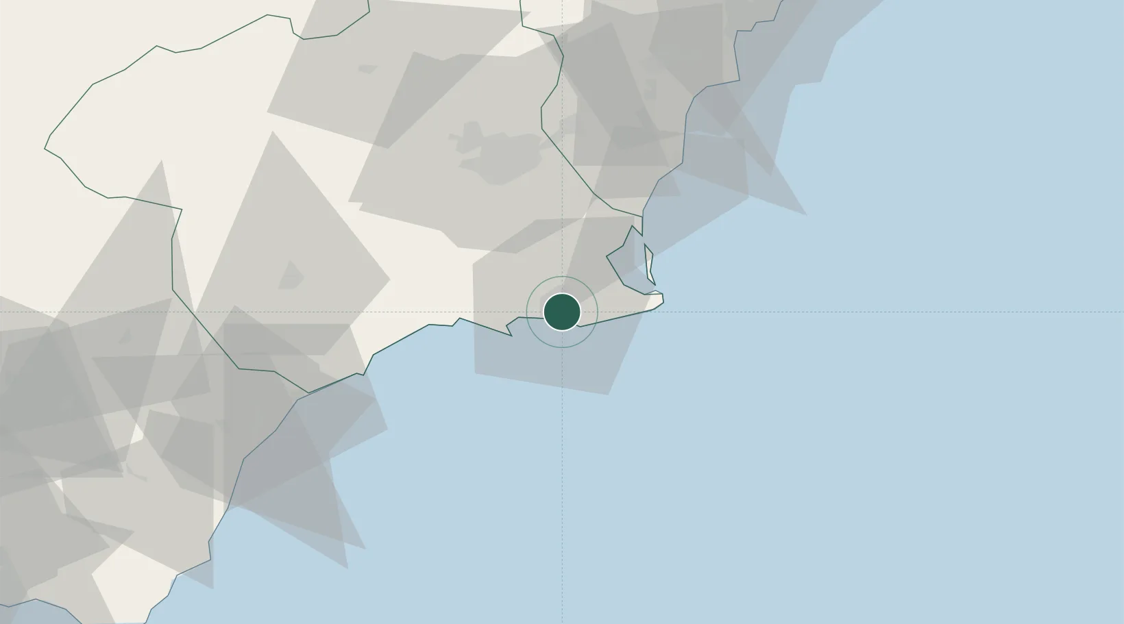
Cartagena
37.5950°, -0.9727°
213,943
Population
3
Transport functions
1
Container terminals
Transport Functions
Port
Rail
Road
Hub Profile
Place type
District seat
Region
Murcia
Population
213,943
Time zone
Europe/Madrid
Elevation
1 m
Logistics facilities
2
Container terminals
1
Location
Nearby Logistics Neighbours
Cities
- 1La Aparecida8 km
- 2La Union10 km
- 3Jimenado18 km
- 4Lobosillo18 km
- 5Rejected20 km
Ports
- 1Torrevieja49 km
- 2Aguilas57 km
- 3Puerto De Garrucha88 km
- 4Alicante93 km
- 5Puerto De Carboneras104 km
Airports
Trade Zones
- 1Depósito Franco de Alicante93 km
- 2Depósito Franco de Valencia214 km
- 3Melilla Autonomous Community311 km
- 4Berkane Agro-Pole318 km
- 5Depósito Franco de Málaga320 km
DatabookThe Record of Consolidated Knowledge
Spain beyond logistics?