UN/LOCODE hub · Spain
ESZHM

La Union

37.6167°, -0.8667°
17,737
Population
1
Transport functions

Transport Functions

Multimodal
UN/LOCODE

Hub Profile

Place type
Populated place
GeoNames
Region
Murcia
GeoNames
Population
17,737
GeoNames
Time zone
Europe/Madrid
GeoNames
Elevation
104 m
GeoNames

Location

Location of ESZHM
Natural Earth 10m (public domain) · Murcia · ESZHM · 37.62, -0.87GoogleOSMYandex

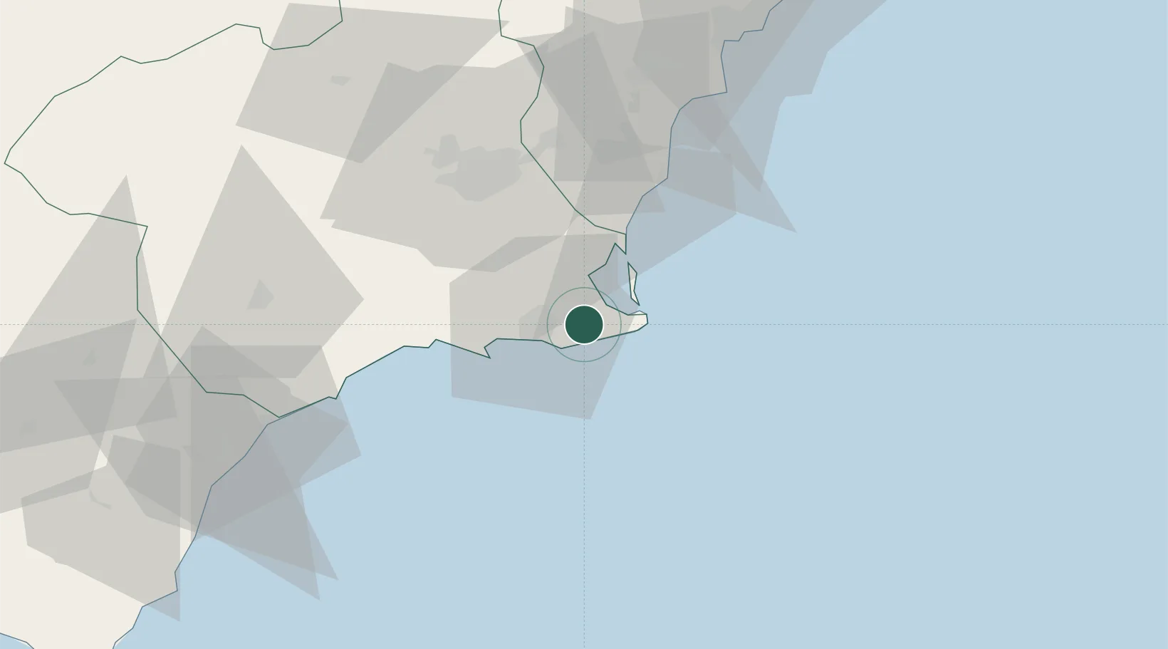
Nearby Logistics Neighbours

Cities
  1. 1La Aparecida9 km
  2. 2Cartagena10 km
  3. 3Cabo de Palos16 km
  4. 4Rejected17 km
  5. 5Jimenado21 km
Nearest neighbours — logibook spatial index (haversine) over the source coordinates
Ports
  1. 1Cartagena11 km
  2. 2Torrevieja42 km
  3. 3Aguilas66 km
  4. 4Alicante87 km
  5. 5Puerto De Garrucha97 km
Nearest neighbours — logibook spatial index (haversine) over the source coordinates
Airports
  1. 1San Javier Airport18 km
  2. 2Region of Murcia International Airport31 km
  3. 3Alcantarilla Air Base49 km
  4. 4Alicante-Elche Miguel Hernández Airport79 km
  5. 5Almería Airport158 km
Nearest neighbours — logibook spatial index (haversine) over the source coordinates
Trade Zones
  1. 1Depósito Franco de Alicante87 km
  2. 2Depósito Franco de Valencia209 km
  3. 3Melilla Autonomous Community318 km
  4. 4Berkane Agro-Pole324 km
  5. 5Depósito Franco de Málaga330 km
Nearest neighbours — logibook spatial index (haversine) over the source coordinates
DatabookThe Record of Consolidated Knowledge
Spain beyond logistics?
Browse databook

All Sources

LocationsUN/LOCODE
UN/LOCODE — free
LocationsGeoNames
CC BY 4.0
Portsthe NGA World Port Index
Public domain (US gov)
AirportsOurAirports
Public domain
Trade Zonesthe World Bank SEZ database
CC BY 4.0
Trade ZonesOpen Zone Map
CC BY
← Spain locations