Transport Functions
Port
Rail
Road
Hub Profile
Place type
District seat
Region
Basque Country
Population
16,937
Time zone
Europe/Madrid
Elevation
29 m
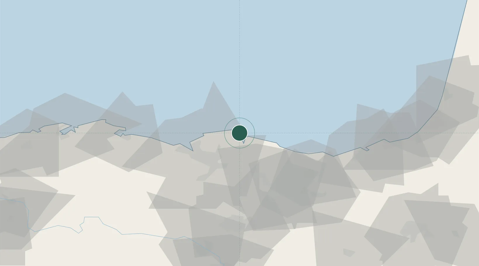
Location
Nearby Logistics Neighbours
Cities
- 1Mundaka5 km
- 2Ibarranguelua9 km
- 3Munguía13 km
- 4Gernika-Lumo13 km
- 5Gatica14 km
Ports
- 1Puerto De Bilbao29 km
- 2Puerto De Pasajes64 km
- 3Santander86 km
- 4Bayonne101 km
- 5Bordeaux234 km
Airports
- 1Bilbao Airport22 km
- 2Vitoria Airport61 km
- 3San Sebastián Airport75 km
- 4Seve Ballesteros-Santander Airport89 km
- 5Biarritz Pays Basque airport96 km
Trade Zones
DatabookThe Record of Consolidated Knowledge
Spain beyond logistics?