Transport Functions
Road
Multimodal
Hub Profile
Region
V
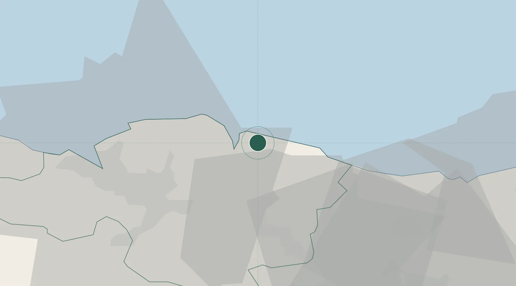
Location
Nearby Logistics Neighbours
Cities
- 1Mundaka4 km
- 2Gernika-Lumo8 km
- 3Bermeo9 km
- 4Guernica y Luno10 km
- 5Muxika11 km
Ports
- 1Bermeo8 km
- 2Puerto De Bilbao34 km
- 3Puerto De Pasajes57 km
- 4Santander93 km
- 5Bayonne95 km
Airports
- 1Bilbao Airport24 km
- 2Vitoria Airport56 km
- 3San Sebastián Airport68 km
- 4Biarritz Pays Basque airport90 km
- 5Seve Ballesteros-Santander Airport96 km
Trade Zones
DatabookThe Record of Consolidated Knowledge
Spain beyond logistics?