UN/LOCODE hub · Spain
ESZBH

Gatica

43.3667°, -2.8667°
1
Transport functions

Transport Functions

Multimodal
UN/LOCODE

Hub Profile

Region
BI
GeoNames

Location

Location of ESZBH
Natural Earth 10m (public domain) · BI · ESZBH · 43.37, -2.87GoogleOSMYandex

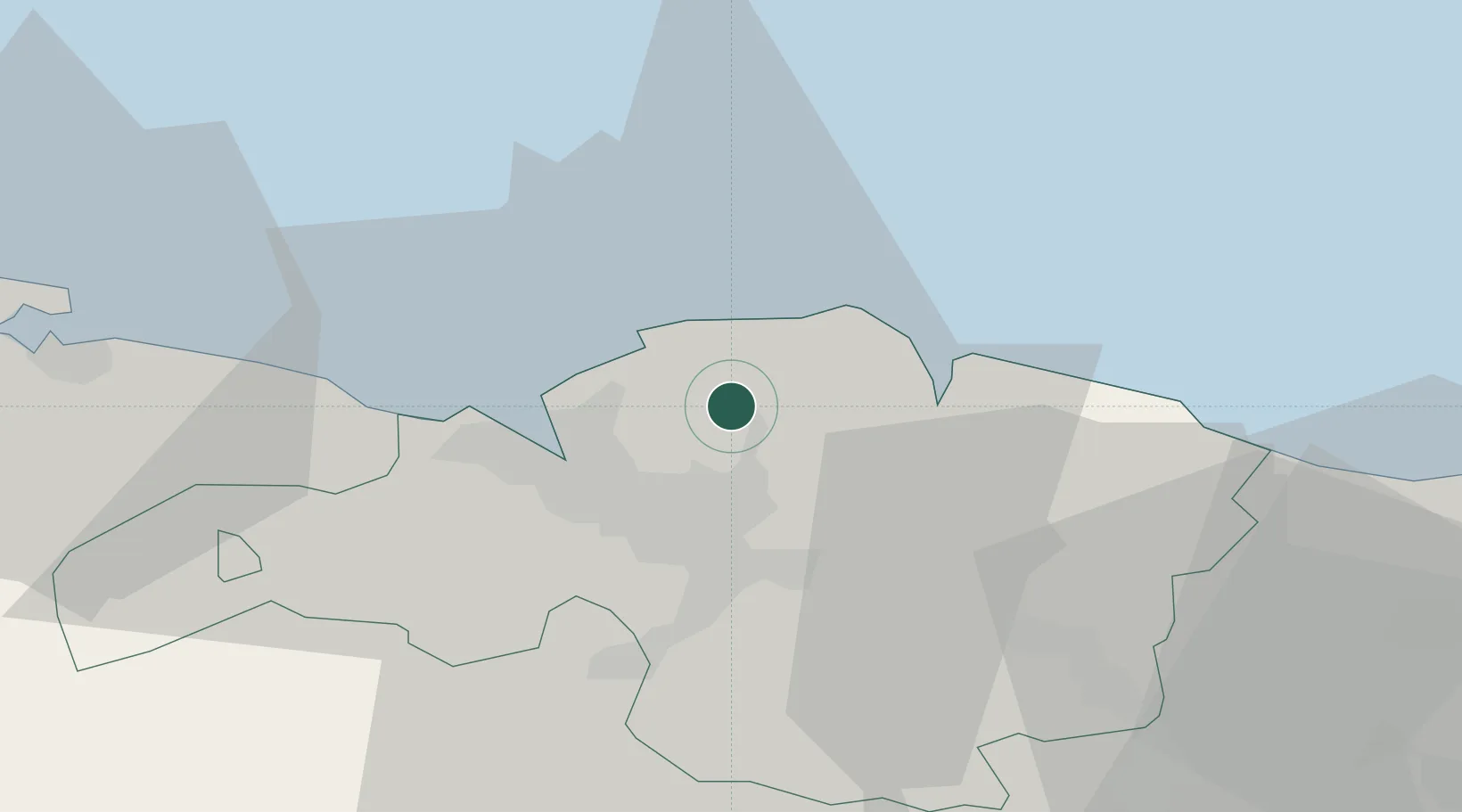
Nearby Logistics Neighbours

Cities
  1. 1Munguía3 km
  2. 2Urduliz7 km
  3. 3Sopelana8 km
  4. 4Plencia9 km
  5. 5Berango9 km
Nearest neighbours — logibook spatial index (haversine) over the source coordinates
Ports
  1. 1Bermeo13 km
  2. 2Puerto De Bilbao15 km
  3. 3Santander75 km
  4. 4Puerto De Pasajes76 km
  5. 5Bayonne114 km
Nearest neighbours — logibook spatial index (haversine) over the source coordinates
Airports
  1. 1Bilbao Airport8 km
  2. 2Vitoria Airport55 km
  3. 3Seve Ballesteros-Santander Airport77 km
  4. 4San Sebastián Airport87 km
  5. 5Biarritz Pays Basque airport109 km
Nearest neighbours — logibook spatial index (haversine) over the source coordinates
Trade Zones
  1. 1Depósito Franco de Bilbao15 km
  2. 2Depósito Franco de Pasajes (Guipúzcoa)77 km
  3. 3Zona Franca de Santander77 km
  4. 4Depósito Franco de Villafría (Burgos)131 km
  5. 5Depósito Franco de Gijón229 km
Nearest neighbours — logibook spatial index (haversine) over the source coordinates
DatabookThe Record of Consolidated Knowledge
Spain beyond logistics?
Browse databook

All Sources

LocationsUN/LOCODE
UN/LOCODE — free
Portsthe NGA World Port Index
Public domain (US gov)
AirportsOurAirports
Public domain
Trade Zonesthe World Bank SEZ database
CC BY 4.0
Trade ZonesOpen Zone Map
CC BY
← Spain locations