Transport Functions
Road
Multimodal
Hub Profile
Place type
District seat
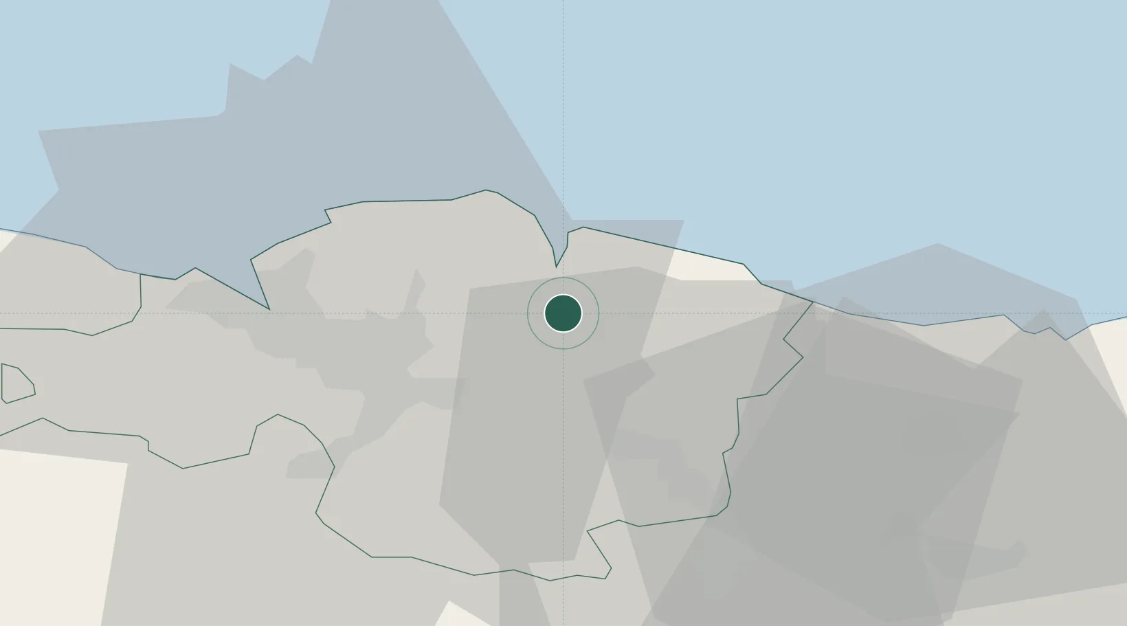
Region
Basque Country
Population
16,244
Time zone
Europe/Madrid
Elevation
97 m
Location
Nearby Logistics Neighbours
Cities
- 1Guernica y Luno2 km
- 2Muxika2 km
- 3Ibarranguelua8 km
- 4Mundaka9 km
- 5Larrabetzu11 km
Ports
- 1Bermeo11 km
- 2Puerto De Bilbao30 km
- 3Puerto De Pasajes61 km
- 4Santander90 km
- 5Bayonne100 km
Airports
- 1Bilbao Airport19 km
- 2Vitoria Airport48 km
- 3San Sebastián Airport72 km
- 4Seve Ballesteros-Santander Airport93 km
- 5Biarritz Pays Basque airport95 km
Trade Zones
DatabookThe Record of Consolidated Knowledge
Spain beyond logistics?