Transport Functions
Port
Road
Hub Profile
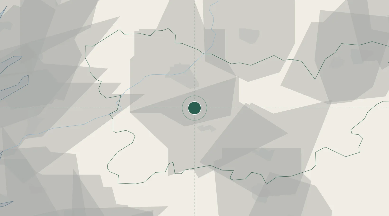
Place type
District seat
Region
Galicia
Population
5,392
Time zone
Europe/Madrid
Elevation
467 m
Location
Nearby Logistics Neighbours
Cities
- 1Sant Cibrao da Sant Vinas12 km
- 2Pereiro de Aguiar17 km
- 3Toen19 km
- 4Orense19 km
- 5Gustey23 km
Ports
- 1Vigo76 km
- 2Marin78 km
- 3Villagarcia De Arosa92 km
- 4Viana Do Castelo101 km
- 5Porto De Leixoes134 km
Airports
- 1Vigo Airport68 km
- 2Braga Municipal Aerodrome85 km
- 3Santiago-Rosalía de Castro Airport94 km
- 4Bragança Airport97 km
- 5Vila Real Airport101 km
Trade Zones
- 1Zona Franca de Vigo79 km
- 2Zona Livre Tecnológica Masotinhos134 km
- 3Depósito Franco de La Coruña139 km
- 4VGP Park Santa Maria da Feira153 km
- 5Depósito Franco de Gijón230 km
DatabookThe Record of Consolidated Knowledge
Spain beyond logistics?