UN/LOCODE hub · Spain
ESTEN

Toen

42.3167°, -7.9500°
2,611
Population
1
Transport functions

Transport Functions

Multimodal
UN/LOCODE

Hub Profile

Place type
District seat
GeoNames
Region
Galicia
GeoNames
Population
2,611
GeoNames
Time zone
Europe/Madrid
GeoNames
Elevation
369 m
GeoNames

Location

Location of ESTEN
Natural Earth 10m (public domain) · Galicia · ESTEN · 42.32, -7.95GoogleOSMYandex

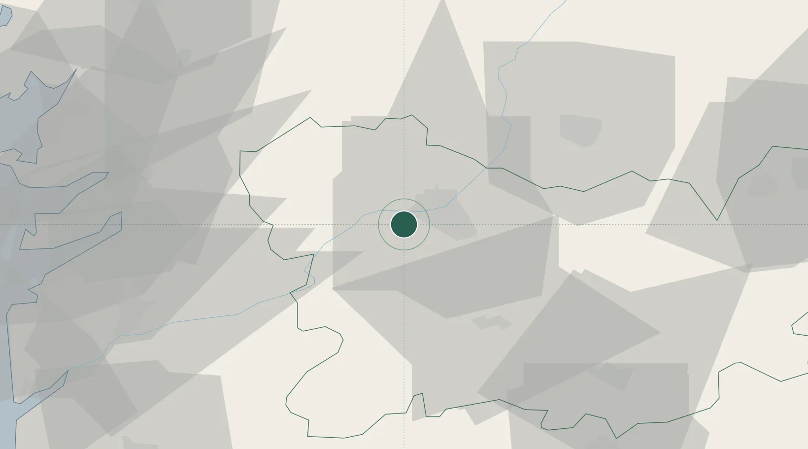
Nearby Logistics Neighbours

Cities
  1. 1Arrabaldo6 km
  2. 2Orense8 km
  3. 3Sant Cibrao da Sant Vinas8 km
  4. 4Gustey11 km
  5. 5Pereiro de Aguiar13 km
Nearest neighbours — logibook spatial index (haversine) over the source coordinates
Ports
  1. 1Marin62 km
  2. 2Vigo64 km
  3. 3Villagarcia De Arosa74 km
  4. 4Viana Do Castelo100 km
  5. 5La Coruna122 km
Nearest neighbours — logibook spatial index (haversine) over the source coordinates
Airports
  1. 1Vigo Airport57 km
  2. 2Santiago-Rosalía de Castro Airport75 km
  3. 3Braga Municipal Aerodrome91 km
  4. 4Bragança Airport115 km
  5. 5A Coruña Airport115 km
Nearest neighbours — logibook spatial index (haversine) over the source coordinates
Trade Zones
  1. 1Zona Franca de Vigo67 km
  2. 2Depósito Franco de La Coruña121 km
  3. 3Zona Livre Tecnológica Masotinhos141 km
  4. 4VGP Park Santa Maria da Feira162 km
  5. 5Depósito Franco de Gijón230 km
Nearest neighbours — logibook spatial index (haversine) over the source coordinates
DatabookThe Record of Consolidated Knowledge
Spain beyond logistics?
Browse databook

All Sources

LocationsUN/LOCODE
UN/LOCODE — free
LocationsGeoNames
CC BY 4.0
Portsthe NGA World Port Index
Public domain (US gov)
AirportsOurAirports
Public domain
Trade Zonesthe World Bank SEZ database
CC BY 4.0
Trade ZonesOpen Zone Map
CC BY
← Spain locations