Transport Functions
Rail
Road
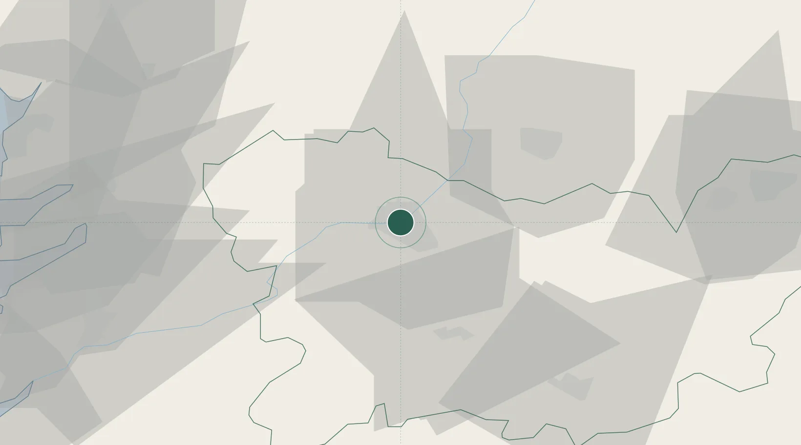
Location
Nearby Logistics Neighbours
Cities
- 1Gustey4 km
- 2Pereiro de Aguiar6 km
- 3Sant Cibrao da Sant Vinas7 km
- 4Toen8 km
- 5Arrabaldo11 km
Ports
- 1Marin69 km
- 2Vigo71 km
- 3Villagarcia De Arosa79 km
- 4Viana Do Castelo108 km
- 5La Coruna121 km
Airports
- 1Vigo Airport64 km
- 2Santiago-Rosalía de Castro Airport76 km
- 3Braga Municipal Aerodrome97 km
- 4Bragança Airport110 km
- 5A Coruña Airport114 km
Trade Zones
- 1Zona Franca de Vigo74 km
- 2Depósito Franco de La Coruña120 km
- 3Zona Livre Tecnológica Masotinhos147 km
- 4VGP Park Santa Maria da Feira168 km
- 5Depósito Franco de Gijón223 km
DatabookThe Record of Consolidated Knowledge
Spain beyond logistics?