UN/LOCODE hub · Spain
ESZLC

Sant Cibrao da Sant Vinas

42.2833°, -7.8667°
1
Transport functions

Transport Functions

Multimodal
UN/LOCODE

Hub Profile

Region
OR
GeoNames

Location

Location of ESZLC
Natural Earth 10m (public domain) · OR · ESZLC · 42.28, -7.87GoogleOSMYandex

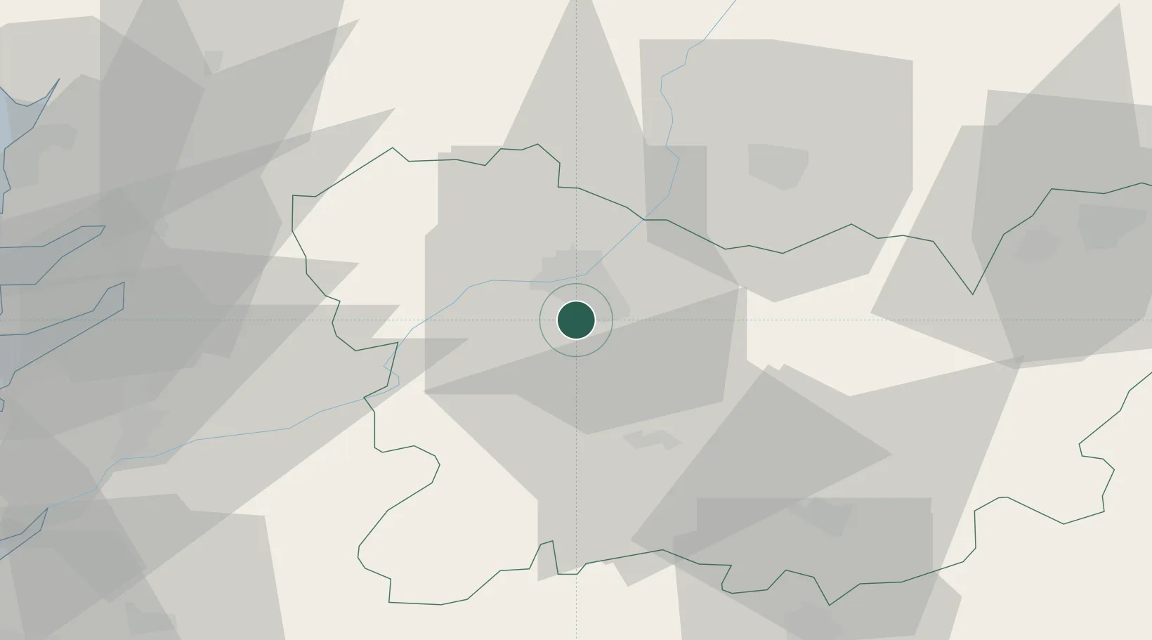
Nearby Logistics Neighbours

Cities
  1. 1Orense7 km
  2. 2Toen8 km
  3. 3Pereiro de Aguiar8 km
  4. 4Gustey11 km
  5. 5Allaríz12 km
Nearest neighbours — logibook spatial index (haversine) over the source coordinates
Ports
  1. 1Marin70 km
  2. 2Vigo70 km
  3. 3Villagarcia De Arosa82 km
  4. 4Viana Do Castelo103 km
  5. 5La Coruna128 km
Nearest neighbours — logibook spatial index (haversine) over the source coordinates
Airports
  1. 1Vigo Airport63 km
  2. 2Santiago-Rosalía de Castro Airport82 km
  3. 3Braga Municipal Aerodrome91 km
  4. 4Bragança Airport107 km
  5. 5Vila Real Airport113 km
Nearest neighbours — logibook spatial index (haversine) over the source coordinates
Trade Zones
  1. 1Zona Franca de Vigo74 km
  2. 2Depósito Franco de La Coruña127 km
  3. 3Zona Livre Tecnológica Masotinhos141 km
  4. 4VGP Park Santa Maria da Feira161 km
  5. 5Depósito Franco de Gijón227 km
Nearest neighbours — logibook spatial index (haversine) over the source coordinates
DatabookThe Record of Consolidated Knowledge
Spain beyond logistics?
Browse databook

All Sources

LocationsUN/LOCODE
UN/LOCODE — free
Portsthe NGA World Port Index
Public domain (US gov)
AirportsOurAirports
Public domain
Trade Zonesthe World Bank SEZ database
CC BY 4.0
Trade ZonesOpen Zone Map
CC BY
← Spain locations