UN/LOCODE hub · Estonia
EENST

Naistlaiu Sadam

58.8167°, 23.0333°
1
Transport functions

Transport Functions

Port
UN/LOCODE

Hub Profile

Region
39
GeoNames

Location

Location of EENST
Natural Earth 10m (public domain) · 39 · EENST · 58.82, 23.03GoogleOSMYandex

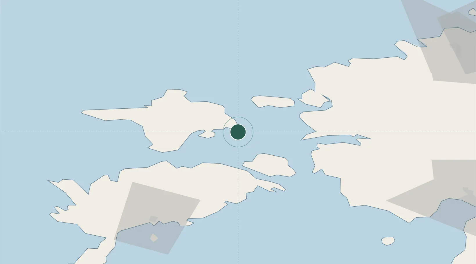
Nearby Logistics Neighbours

Cities
  1. 1Salinõmme5 km
  2. 2Salinõmme Kalasadam5 km
  3. 3Heltermaa6 km
  4. 4Vahtrepa Sadam8 km
  5. 5Kassari Sadam13 km
Nearest neighbours — logibook spatial index (haversine) over the source coordinates
Ports
  1. 1Heltermaa6 km
  2. 2Rohukula25 km
  3. 3Virtsu39 km
  4. 4Saaremaa sadam56 km
  5. 5Osmussaar57 km
Nearest neighbours — logibook spatial index (haversine) over the source coordinates
Airports
  1. 1Kärdla Airport23 km
  2. 2Kuressaare Airport72 km
  3. 3Ämari Air Base83 km
  4. 4Pärnu Airport94 km
  5. 5Ruhnu Airfield115 km
Nearest neighbours — logibook spatial index (haversine) over the source coordinates
Trade Zones
  1. 1Paldiski Free Zone83 km
  2. 2Freeport of Hanko113 km
  3. 3Muuga Free Zone125 km
  4. 4Free port of Ventspils181 km
  5. 5Turku Free Zone187 km
Nearest neighbours — logibook spatial index (haversine) over the source coordinates
DatabookThe Record of Consolidated Knowledge
Estonia beyond logistics?
Browse databook

All Sources

LocationsUN/LOCODE
UN/LOCODE — free
Portsthe NGA World Port Index
Public domain (US gov)
AirportsOurAirports
Public domain
Trade Zonesthe World Bank SEZ database
CC BY 4.0
Trade ZonesOpen Zone Map
CC BY
← Estonia locations