UN/LOCODE hub · Estonia
EESNK

Salinõmme Kalasadam

58.8333°, 22.9500°
1
Transport functions

Transport Functions

Port
UN/LOCODE

Hub Profile

Region
39
GeoNames

Location

Location of EESNK
Natural Earth 10m (public domain) · 39 · EESNK · 58.83, 22.95GoogleOSMYandex

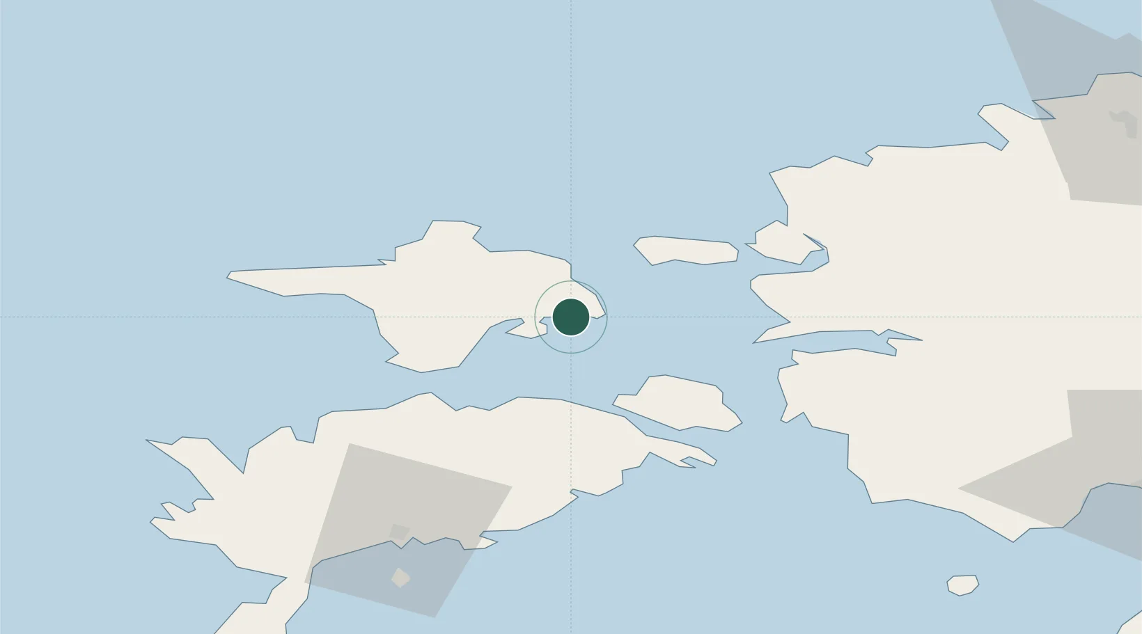
Nearby Logistics Neighbours

Cities
  1. 1Salinõmme0 km
  2. 2Naistlaiu Sadam5 km
  3. 3Vahtrepa Sadam7 km
  4. 4Heltermaa7 km
  5. 5Kassari Sadam10 km
Nearest neighbours — logibook spatial index (haversine) over the source coordinates
Ports
  1. 1Heltermaa7 km
  2. 2Rohukula28 km
  3. 3Virtsu43 km
  4. 4Saaremaa sadam53 km
  5. 5Osmussaar57 km
Nearest neighbours — logibook spatial index (haversine) over the source coordinates
Airports
  1. 1Kärdla Airport19 km
  2. 2Kuressaare Airport72 km
  3. 3Ämari Air Base86 km
  4. 4Pärnu Airport100 km
  5. 5Ruhnu Airfield118 km
Nearest neighbours — logibook spatial index (haversine) over the source coordinates
Trade Zones
  1. 1Paldiski Free Zone85 km
  2. 2Freeport of Hanko111 km
  3. 3Muuga Free Zone129 km
  4. 4Free port of Ventspils180 km
  5. 5Turku Free Zone184 km
Nearest neighbours — logibook spatial index (haversine) over the source coordinates
DatabookThe Record of Consolidated Knowledge
Estonia beyond logistics?
Browse databook

All Sources

LocationsUN/LOCODE
UN/LOCODE — free
Portsthe NGA World Port Index
Public domain (US gov)
AirportsOurAirports
Public domain
Trade Zonesthe World Bank SEZ database
CC BY 4.0
Trade ZonesOpen Zone Map
CC BY
← Estonia locations