UN/LOCODE hub · Estonia
EESSO

Soo

58.7167°, 27.1167°
1
Transport functions

Transport Functions

Port
UN/LOCODE

Hub Profile

Region
50
GeoNames

Location

Location of EESSO
Natural Earth 10m (public domain) · 50 · EESSO · 58.72, 27.12GoogleOSMYandex

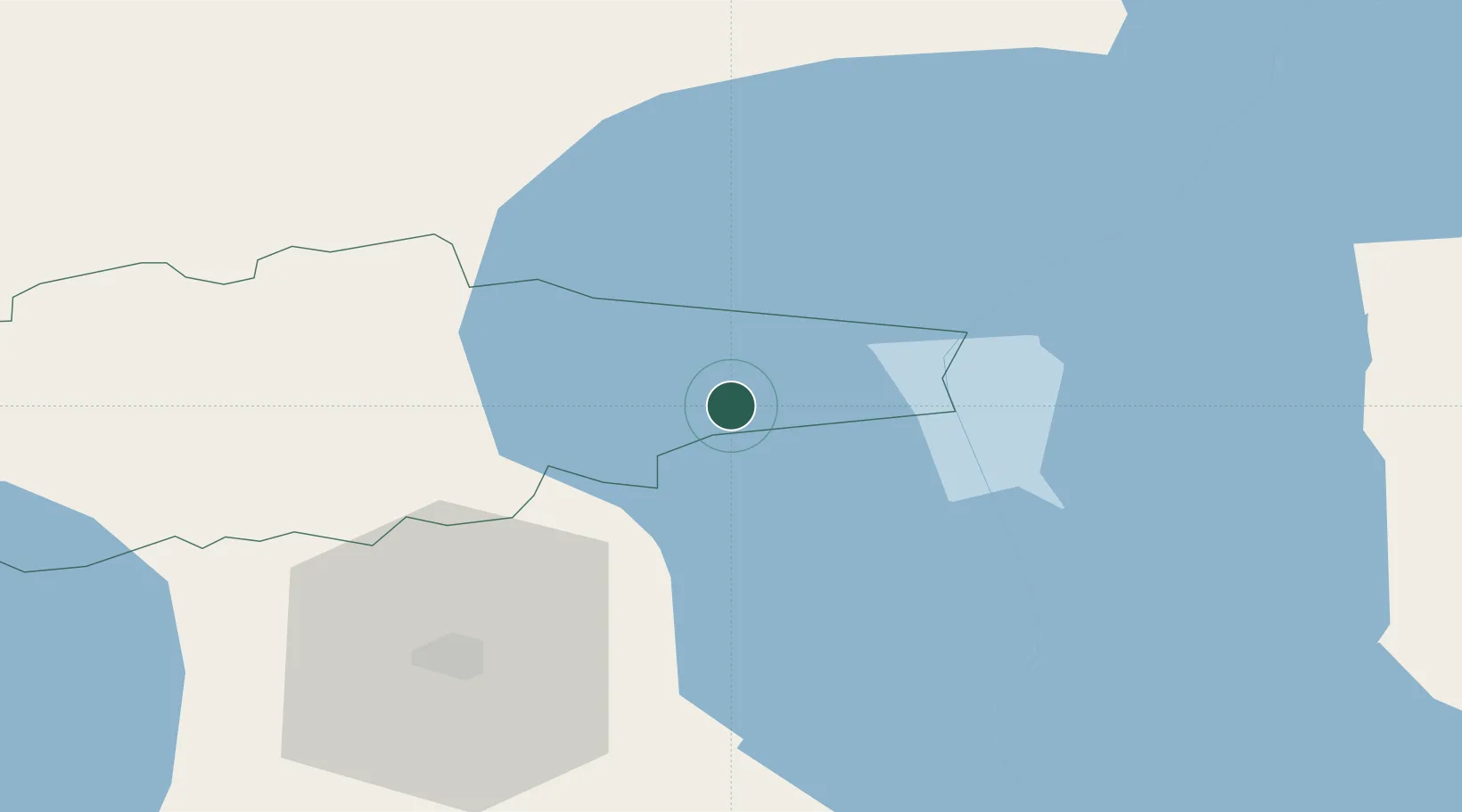
Nearby Logistics Neighbours

Cities
  1. 1Sassukvere1 km
  2. 2Kallaste Rannasadam6 km
  3. 3Kallaste8 km
  4. 4Otsa8 km
  5. 5Pusi10 km
Nearest neighbours — logibook spatial index (haversine) over the source coordinates
Ports
  1. 1Sillamae87 km
  2. 2Kunda96 km
  3. 3Loksa126 km
  4. 4Ust Luga126 km
  5. 5Muuga-Port of Tallin151 km
Nearest neighbours — logibook spatial index (haversine) over the source coordinates
Airports
  1. 1Tartu Airport52 km
  2. 2Smuravyovo Air Base53 km
  3. 3Princess Olga Pskov International Airport128 km
  4. 4Lennart Meri Tallinn Airport152 km
  5. 5Pärnu Airport157 km
Nearest neighbours — logibook spatial index (haversine) over the source coordinates
Trade Zones
  1. 1Port of Sillamäe86 km
  2. 2Moglino Special Economic Zone - Industrial122 km
  3. 3Muuga Free Zone137 km
  4. 4Paldiski Free Zone187 km
  5. 5Port of Hamina-Kotka195 km
Nearest neighbours — logibook spatial index (haversine) over the source coordinates
DatabookThe Record of Consolidated Knowledge
Estonia beyond logistics?
Browse databook

All Sources

LocationsUN/LOCODE
UN/LOCODE — free
Portsthe NGA World Port Index
Public domain (US gov)
AirportsOurAirports
Public domain
Trade Zonesthe World Bank SEZ database
CC BY 4.0
Trade ZonesOpen Zone Map
CC BY
← Estonia locations