UN/LOCODE hub · Estonia
EEKLR

Kallaste Rannasadam

58.6667°, 27.1667°
1
Transport functions

Transport Functions

Port
UN/LOCODE

Hub Profile

Region
79
GeoNames

Location

Location of EEKLR
Natural Earth 10m (public domain) · 79 · EEKLR · 58.67, 27.17GoogleOSMYandex

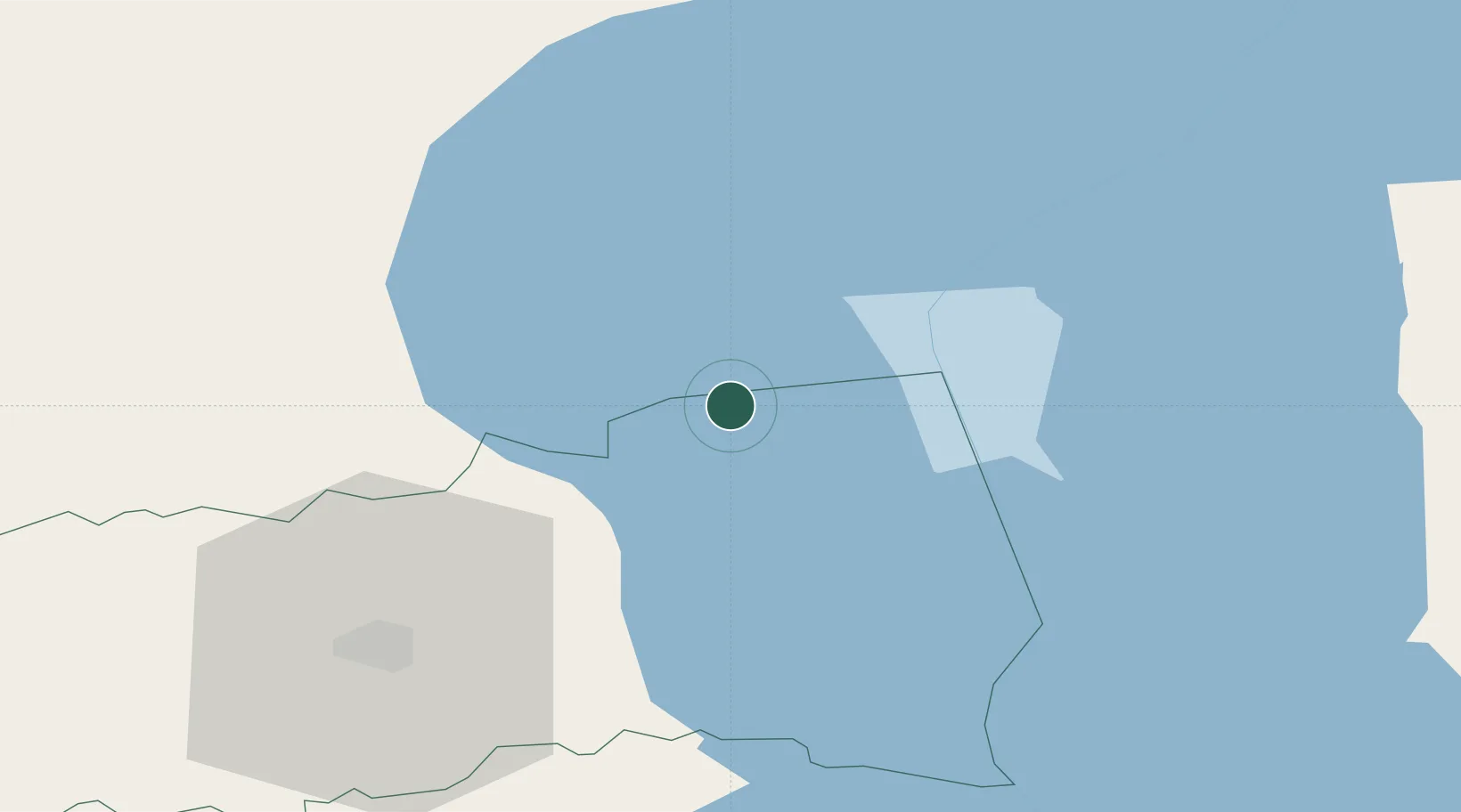
Nearby Logistics Neighbours

Cities
  1. 1Otsa2 km
  2. 2Kallaste2 km
  3. 3Pusi4 km
  4. 4Sassukvere6 km
  5. 5Soo6 km
Nearest neighbours — logibook spatial index (haversine) over the source coordinates
Ports
  1. 1Sillamae91 km
  2. 2Kunda102 km
  3. 3Ust Luga129 km
  4. 4Loksa132 km
  5. 5Muuga-Port of Tallin156 km
Nearest neighbours — logibook spatial index (haversine) over the source coordinates
Airports
  1. 1Tartu Airport49 km
  2. 2Smuravyovo Air Base52 km
  3. 3Princess Olga Pskov International Airport122 km
  4. 4Lennart Meri Tallinn Airport157 km
  5. 5Pärnu Airport159 km
Nearest neighbours — logibook spatial index (haversine) over the source coordinates
Trade Zones
  1. 1Port of Sillamäe90 km
  2. 2Moglino Special Economic Zone - Industrial115 km
  3. 3Muuga Free Zone142 km
  4. 4Paldiski Free Zone192 km
  5. 5Port of Hamina-Kotka201 km
Nearest neighbours — logibook spatial index (haversine) over the source coordinates
DatabookThe Record of Consolidated Knowledge
Estonia beyond logistics?
Browse databook

All Sources

LocationsUN/LOCODE
UN/LOCODE — free
Portsthe NGA World Port Index
Public domain (US gov)
AirportsOurAirports
Public domain
Trade Zonesthe World Bank SEZ database
CC BY 4.0
Trade ZonesOpen Zone Map
CC BY
← Estonia locations