Transport Functions
Port
Road
Hub Profile
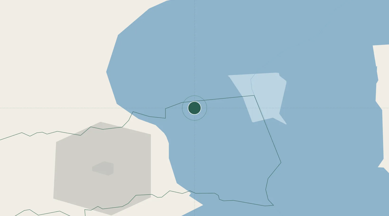
Place type
Populated place
Region
Tartu
Population
714
Time zone
Europe/Tallinn
Elevation
43 m
Location
Nearby Logistics Neighbours
Cities
- 1Otsa1 km
- 2Pusi2 km
- 3Kallaste Rannasadam2 km
- 4Sassukvere8 km
- 5Alatskivi8 km
Ports
- 1Sillamae93 km
- 2Kunda104 km
- 3Ust Luga131 km
- 4Loksa133 km
- 5Muuga-Port of Tallin157 km
Airports
- 1Tartu Airport47 km
- 2Smuravyovo Air Base53 km
- 3Princess Olga Pskov International Airport121 km
- 4Lennart Meri Tallinn Airport157 km
- 5Pärnu Airport158 km
Trade Zones
- 1Port of Sillamäe92 km
- 2Moglino Special Economic Zone - Industrial114 km
- 3Muuga Free Zone142 km
- 4Paldiski Free Zone192 km
- 5Port of Hamina-Kotka203 km
DatabookThe Record of Consolidated Knowledge
Estonia beyond logistics?