Transport Functions
Port
Hub Profile
Place type
Populated place
Region
Tartu
Time zone
Europe/Tallinn
Elevation
45 m
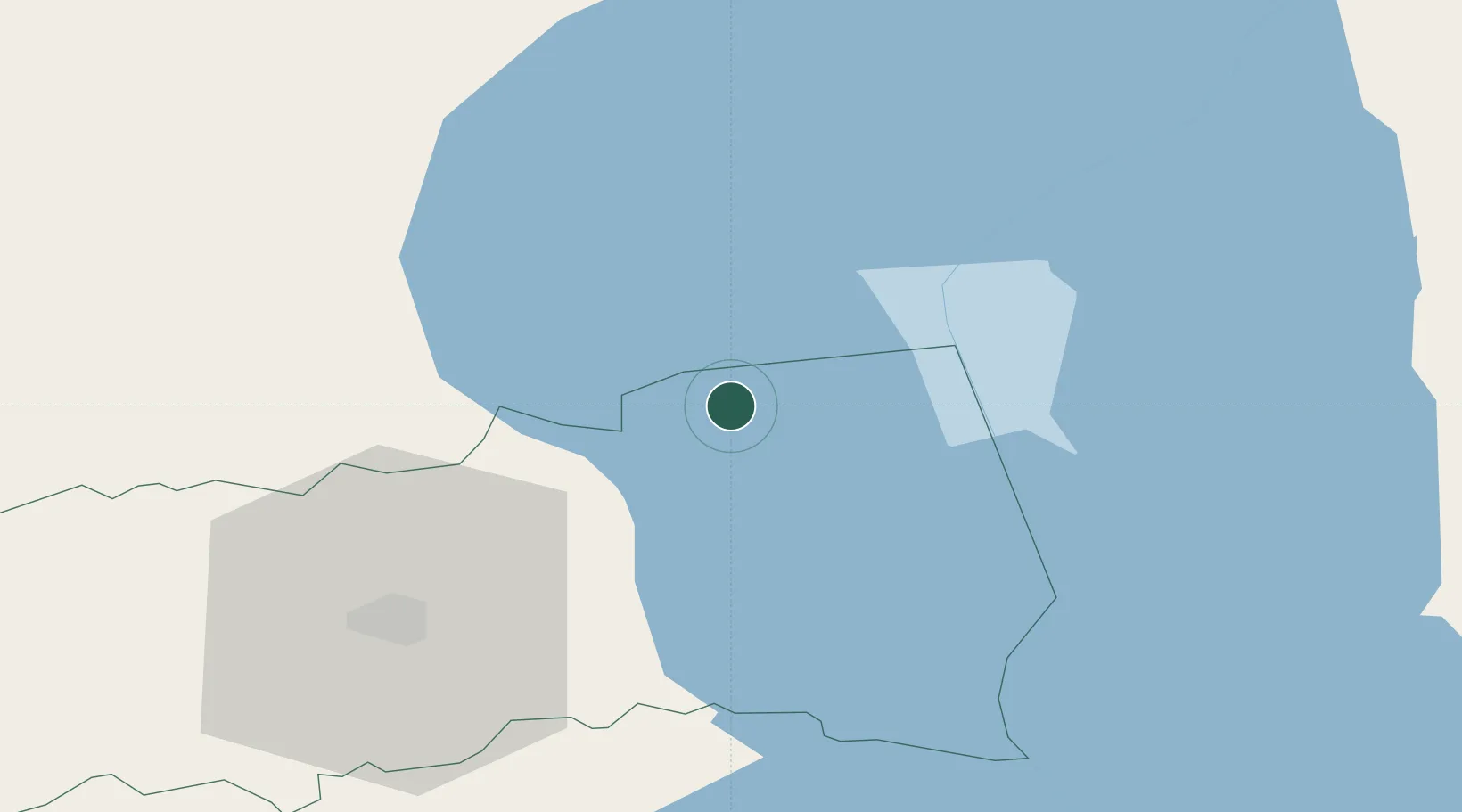
Location
Nearby Logistics Neighbours
Cities
- 1Kallaste2 km
- 2Otsa2 km
- 3Kallaste Rannasadam4 km
- 4Alatskivi6 km
- 5Sassukvere9 km
Airports
- 1Tartu Airport45 km
- 2Smuravyovo Air Base54 km
- 3Princess Olga Pskov International Airport120 km
- 4Pärnu Airport157 km
- 5Lennart Meri Tallinn Airport158 km
Trade Zones
- 1Port of Sillamäe94 km
- 2Moglino Special Economic Zone - Industrial113 km
- 3Muuga Free Zone143 km
- 4Paldiski Free Zone193 km
- 5Port of Hamina-Kotka205 km
DatabookThe Record of Consolidated Knowledge
Estonia beyond logistics?