UN/LOCODE hub · Estonia
EEKKS

Kassari Sadam

58.7667°, 22.8333°
1
Transport functions

Transport Functions

Port
UN/LOCODE

Hub Profile

Region
39
GeoNames

Location

Location of EEKKS
Natural Earth 10m (public domain) · 39 · EEKKS · 58.77, 22.83GoogleOSMYandex

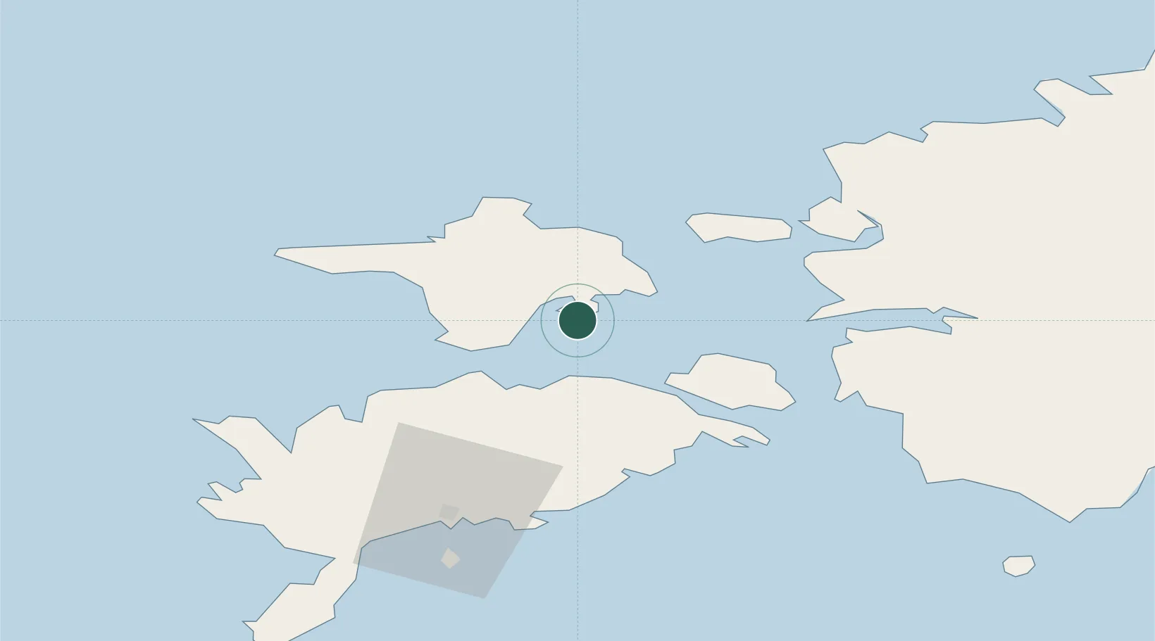
Nearby Logistics Neighbours

Cities
  1. 1Orjaku4 km
  2. 2Tuletorni4 km
  3. 3Salinõmme10 km
  4. 4Salinõmme Kalasadam10 km
  5. 5Naistlaiu Sadam13 km
Nearest neighbours — logibook spatial index (haversine) over the source coordinates
Ports
  1. 1Heltermaa17 km
  2. 2Rohukula37 km
  3. 3Saaremaa sadam43 km
  4. 4Virtsu45 km
  5. 5Roomassaare64 km
Nearest neighbours — logibook spatial index (haversine) over the source coordinates
Airports
  1. 1Kärdla Airport25 km
  2. 2Kuressaare Airport63 km
  3. 3Ämari Air Base96 km
  4. 4Pärnu Airport103 km
  5. 5Ruhnu Airfield112 km
Nearest neighbours — logibook spatial index (haversine) over the source coordinates
Trade Zones
  1. 1Paldiski Free Zone95 km
  2. 2Freeport of Hanko118 km
  3. 3Muuga Free Zone138 km
  4. 4Free port of Ventspils170 km
  5. 5Turku Free Zone190 km
Nearest neighbours — logibook spatial index (haversine) over the source coordinates
DatabookThe Record of Consolidated Knowledge
Estonia beyond logistics?
Browse databook

All Sources

LocationsUN/LOCODE
UN/LOCODE — free
Portsthe NGA World Port Index
Public domain (US gov)
AirportsOurAirports
Public domain
Trade Zonesthe World Bank SEZ database
CC BY 4.0
Trade ZonesOpen Zone Map
CC BY
← Estonia locations