UN/LOCODE hub · Estonia
EEVUS

Vasknarva Uussadam

59.0167°, 27.7333°
1
Transport functions

Transport Functions

Port
UN/LOCODE

Hub Profile

Region
45
GeoNames

Location

Location of EEVUS
Natural Earth 10m (public domain) · 45 · EEVUS · 59.02, 27.73GoogleOSMYandex

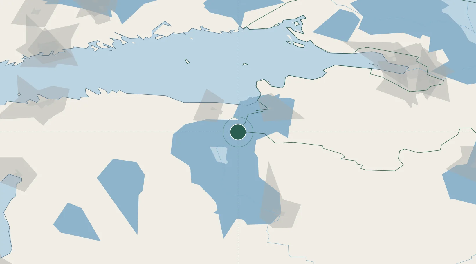
Nearby Logistics Neighbours

Cities
  1. 1Vasknarva2 km
  2. 2Vasknarva Paadisadam2 km
  3. 3Remniku Vanasadam11 km
  4. 4Alajõe Kalasadam17 km
  5. 5Jõekääru32 km
Nearest neighbours — logibook spatial index (haversine) over the source coordinates
Ports
  1. 1Sillamae46 km
  2. 2Ust Luga80 km
  3. 3Kunda88 km
  4. 4Loksa132 km
  5. 5Lomonosov152 km
Nearest neighbours — logibook spatial index (haversine) over the source coordinates
Airports
  1. 1Smuravyovo Air Base28 km
  2. 2Tartu Airport99 km
  3. 3Princess Olga Pskov International Airport143 km
  4. 4Pribylovo Naval Air Base170 km
  5. 5Lennart Meri Tallinn Airport171 km
Nearest neighbours — logibook spatial index (haversine) over the source coordinates
Trade Zones
  1. 1Port of Sillamäe45 km
  2. 2Moglino Special Economic Zone - Industrial141 km
  3. 3St Petersburg Technology Innovative Special Economic Zone158 km
  4. 4Muuga Free Zone158 km
  5. 5Port of Hamina-Kotka168 km
Nearest neighbours — logibook spatial index (haversine) over the source coordinates
DatabookThe Record of Consolidated Knowledge
Estonia beyond logistics?
Browse databook

All Sources

LocationsUN/LOCODE
UN/LOCODE — free
Portsthe NGA World Port Index
Public domain (US gov)
AirportsOurAirports
Public domain
Trade Zonesthe World Bank SEZ database
CC BY 4.0
Trade ZonesOpen Zone Map
CC BY
← Estonia locations