Transport Functions
Port
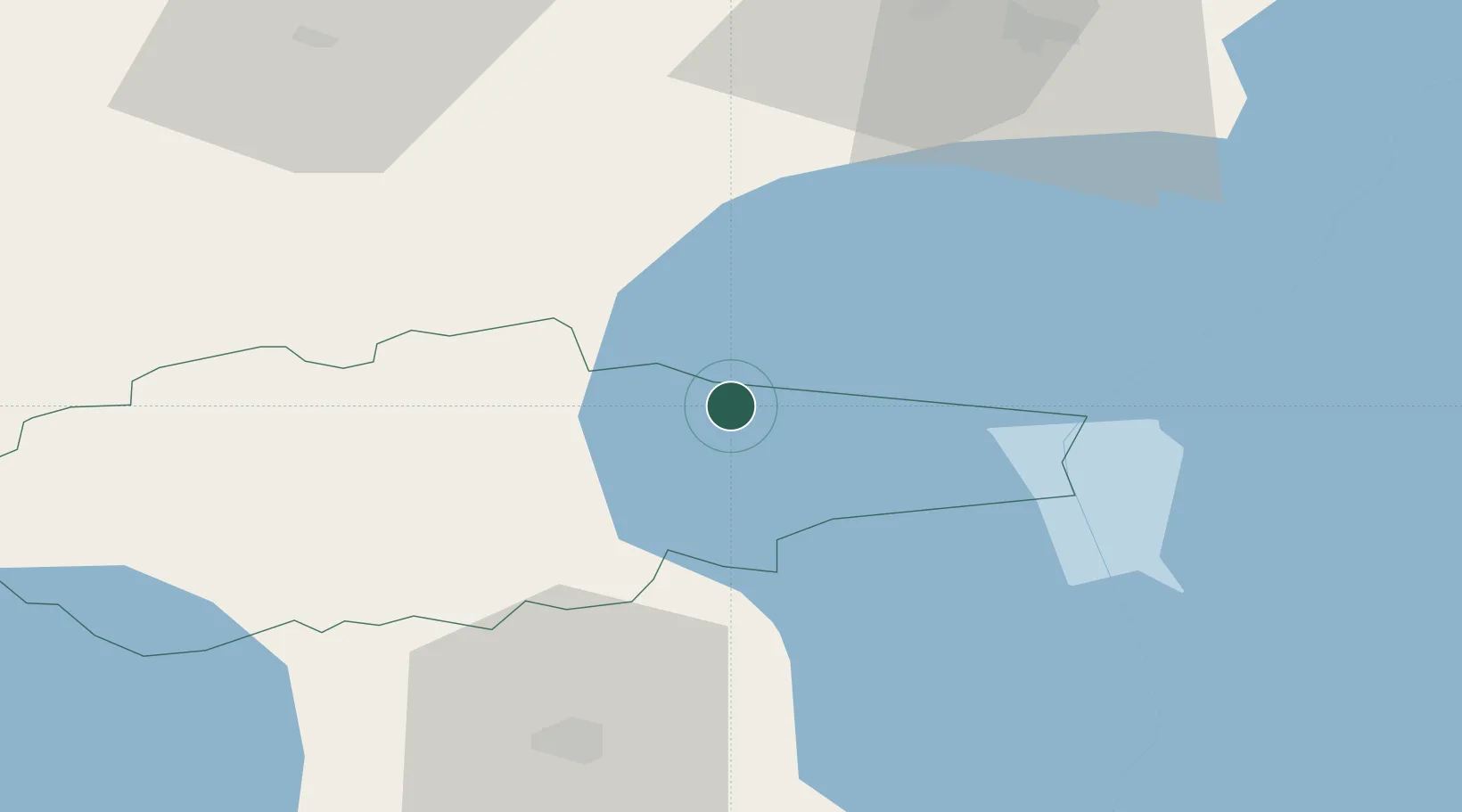
Hub Profile
Place type
Populated place
Region
Jõgevamaa
Population
469
Time zone
Europe/Tallinn
Elevation
39 m
Location
Nearby Logistics Neighbours
Cities
- 1Mustvee2 km
- 2Mustvee2 km
- 3Kalmaküla Sadam6 km
- 4Mihkli Sadam6 km
- 5Omedu Rand6 km
Ports
- 1Sillamae80 km
- 2Kunda81 km
- 3Loksa110 km
- 4Ust Luga121 km
- 5Muuga-Port of Tallin135 km
Airports
- 1Tartu Airport60 km
- 2Smuravyovo Air Base61 km
- 3Lennart Meri Tallinn Airport137 km
- 4Tallinn Linnahall Heliport143 km
- 5Princess Olga Pskov International Airport144 km
Trade Zones
- 1Port of Sillamäe79 km
- 2Muuga Free Zone122 km
- 3Moglino Special Economic Zone - Industrial138 km
- 4Paldiski Free Zone173 km
- 5Port of Hamina-Kotka182 km
DatabookThe Record of Consolidated Knowledge
Estonia beyond logistics?