UN/LOCODE hub · Estonia
EEOMR

Omedu Rand

58.7833°, 26.9833°
1
Transport functions

Transport Functions

Port
UN/LOCODE

Hub Profile

Region
50
GeoNames

Location

Location of EEOMR
Natural Earth 10m (public domain) · 50 · EEOMR · 58.78, 26.98GoogleOSMYandex

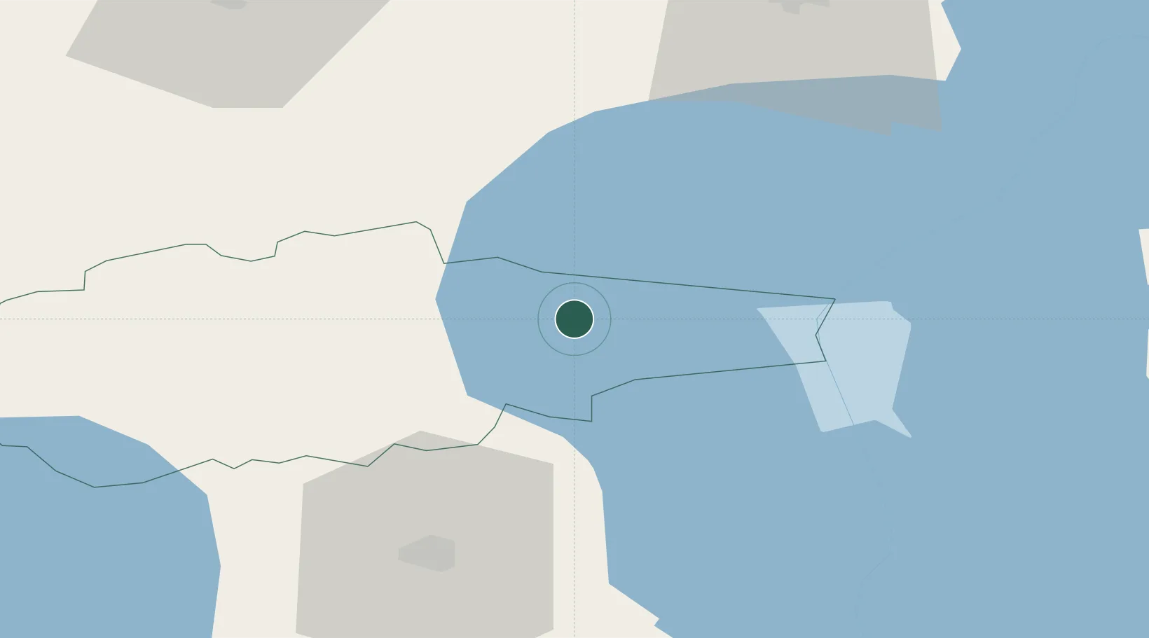
Nearby Logistics Neighbours

Cities
  1. 1Mihkli Sadam0 km
  2. 2Raja6 km
  3. 3Mustvee8 km
  4. 4Mustvee8 km
  5. 5Soo11 km
Nearest neighbours — logibook spatial index (haversine) over the source coordinates
Ports
  1. 1Sillamae84 km
  2. 2Kunda86 km
  3. 3Loksa115 km
  4. 4Ust Luga124 km
  5. 5Muuga-Port of Tallin140 km
Nearest neighbours — logibook spatial index (haversine) over the source coordinates
Airports
  1. 1Tartu Airport56 km
  2. 2Smuravyovo Air Base59 km
  3. 3Princess Olga Pskov International Airport139 km
  4. 4Lennart Meri Tallinn Airport141 km
  5. 5Tallinn Linnahall Heliport147 km
Nearest neighbours — logibook spatial index (haversine) over the source coordinates
Trade Zones
  1. 1Port of Sillamäe83 km
  2. 2Muuga Free Zone126 km
  3. 3Moglino Special Economic Zone - Industrial132 km
  4. 4Paldiski Free Zone177 km
  5. 5Port of Hamina-Kotka188 km
Nearest neighbours — logibook spatial index (haversine) over the source coordinates
DatabookThe Record of Consolidated Knowledge
Estonia beyond logistics?
Browse databook

All Sources

LocationsUN/LOCODE
UN/LOCODE — free
Portsthe NGA World Port Index
Public domain (US gov)
AirportsOurAirports
Public domain
Trade Zonesthe World Bank SEZ database
CC BY 4.0
Trade ZonesOpen Zone Map
CC BY
← Estonia locations