UN/LOCODE hub · Estonia
EEVVS

Virtsu Vanasadam

58.5833°, 23.5667°
1
Transport functions

Transport Functions

Port
UN/LOCODE

Hub Profile

Region
56
GeoNames

Location

Location of EEVVS
Natural Earth 10m (public domain) · 56 · EEVVS · 58.58, 23.57GoogleOSMYandex

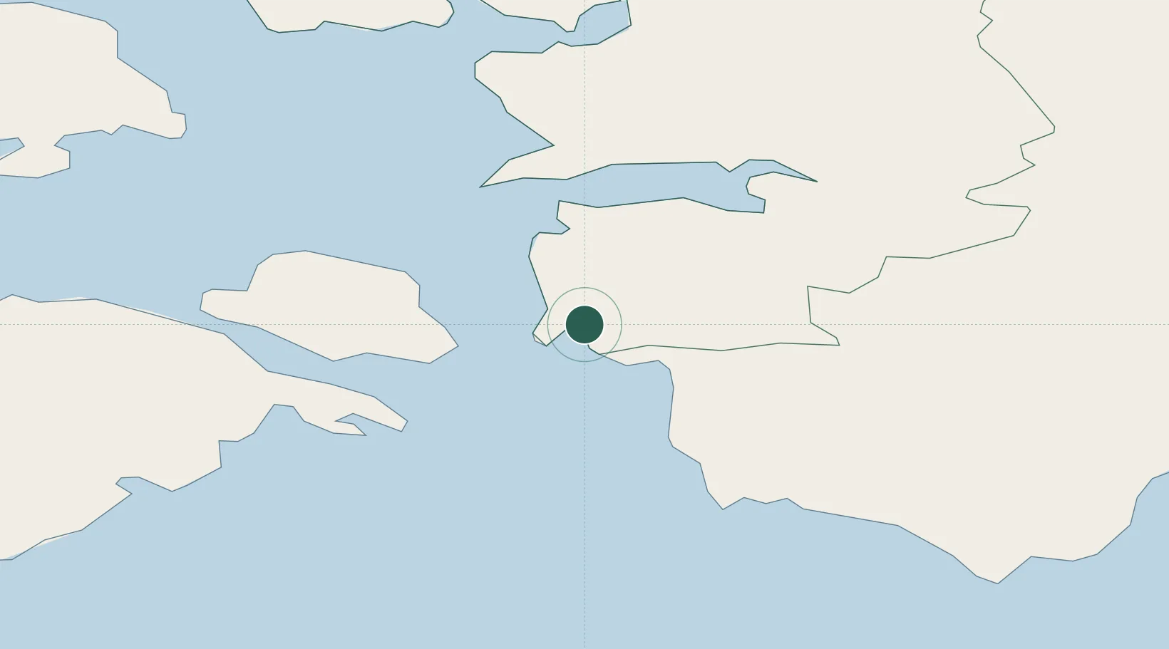
Nearby Logistics Neighbours

Cities
  1. 1Virtsu3 km
  2. 2Virtsu Kalasadam3 km
  3. 3Kesse-Jaani9 km
  4. 4Admirali Väikesadam9 km
  5. 5Lääne9 km
Nearest neighbours — logibook spatial index (haversine) over the source coordinates
Ports
  1. 1Virtsu3 km
  2. 2Rohukula37 km
  3. 3Heltermaa44 km
  4. 4Parnu58 km
  5. 5Roomassaare74 km
Nearest neighbours — logibook spatial index (haversine) over the source coordinates
Airports
  1. 1Pärnu Airport56 km
  2. 2Kärdla Airport62 km
  3. 3Kuressaare Airport73 km
  4. 4Ämari Air Base84 km
  5. 5Ruhnu Airfield91 km
Nearest neighbours — logibook spatial index (haversine) over the source coordinates
Trade Zones
  1. 1Paldiski Free Zone89 km
  2. 2Muuga Free Zone115 km
  3. 3Freeport of Hanko144 km
  4. 4Free port of Ventspils178 km
  5. 5Free Port of Riga184 km
Nearest neighbours — logibook spatial index (haversine) over the source coordinates
DatabookThe Record of Consolidated Knowledge
Estonia beyond logistics?
Browse databook

All Sources

LocationsUN/LOCODE
UN/LOCODE — free
Portsthe NGA World Port Index
Public domain (US gov)
AirportsOurAirports
Public domain
Trade Zonesthe World Bank SEZ database
CC BY 4.0
Trade ZonesOpen Zone Map
CC BY
← Estonia locations