UN/LOCODE hub · Estonia
EEVIS

Virtsu Kalasadam

58.5833°, 23.5167°
1
Transport functions

Transport Functions

Port
UN/LOCODE

Hub Profile

Region
56
GeoNames

Location

Location of EEVIS
Natural Earth 10m (public domain) · 56 · EEVIS · 58.58, 23.52GoogleOSMYandex

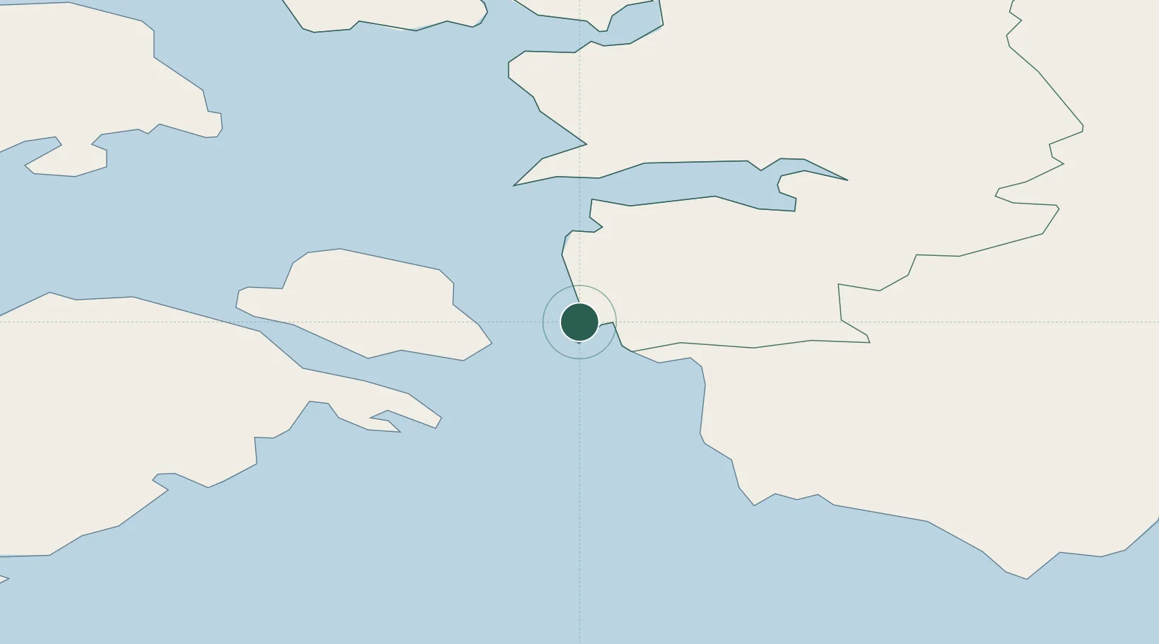
Nearby Logistics Neighbours

Cities
  1. 1Virtsu0 km
  2. 2Virtsu Vanasadam3 km
  3. 3Kesse-Jaani7 km
  4. 4Kuivastu8 km
  5. 5Admirali Väikesadam11 km
Nearest neighbours — logibook spatial index (haversine) over the source coordinates
Ports
  1. 1Virtsu1 km
  2. 2Rohukula36 km
  3. 3Heltermaa42 km
  4. 4Parnu60 km
  5. 5Roomassaare72 km
Nearest neighbours — logibook spatial index (haversine) over the source coordinates
Airports
  1. 1Pärnu Airport59 km
  2. 2Kärdla Airport60 km
  3. 3Kuressaare Airport71 km
  4. 4Ämari Air Base85 km
  5. 5Ruhnu Airfield90 km
Nearest neighbours — logibook spatial index (haversine) over the source coordinates
Trade Zones
  1. 1Paldiski Free Zone90 km
  2. 2Muuga Free Zone117 km
  3. 3Freeport of Hanko143 km
  4. 4Free port of Ventspils176 km
  5. 5Free Port of Riga184 km
Nearest neighbours — logibook spatial index (haversine) over the source coordinates
DatabookThe Record of Consolidated Knowledge
Estonia beyond logistics?
Browse databook

All Sources

LocationsUN/LOCODE
UN/LOCODE — free
Portsthe NGA World Port Index
Public domain (US gov)
AirportsOurAirports
Public domain
Trade Zonesthe World Bank SEZ database
CC BY 4.0
Trade ZonesOpen Zone Map
CC BY
← Estonia locations