Transport Functions
Multimodal
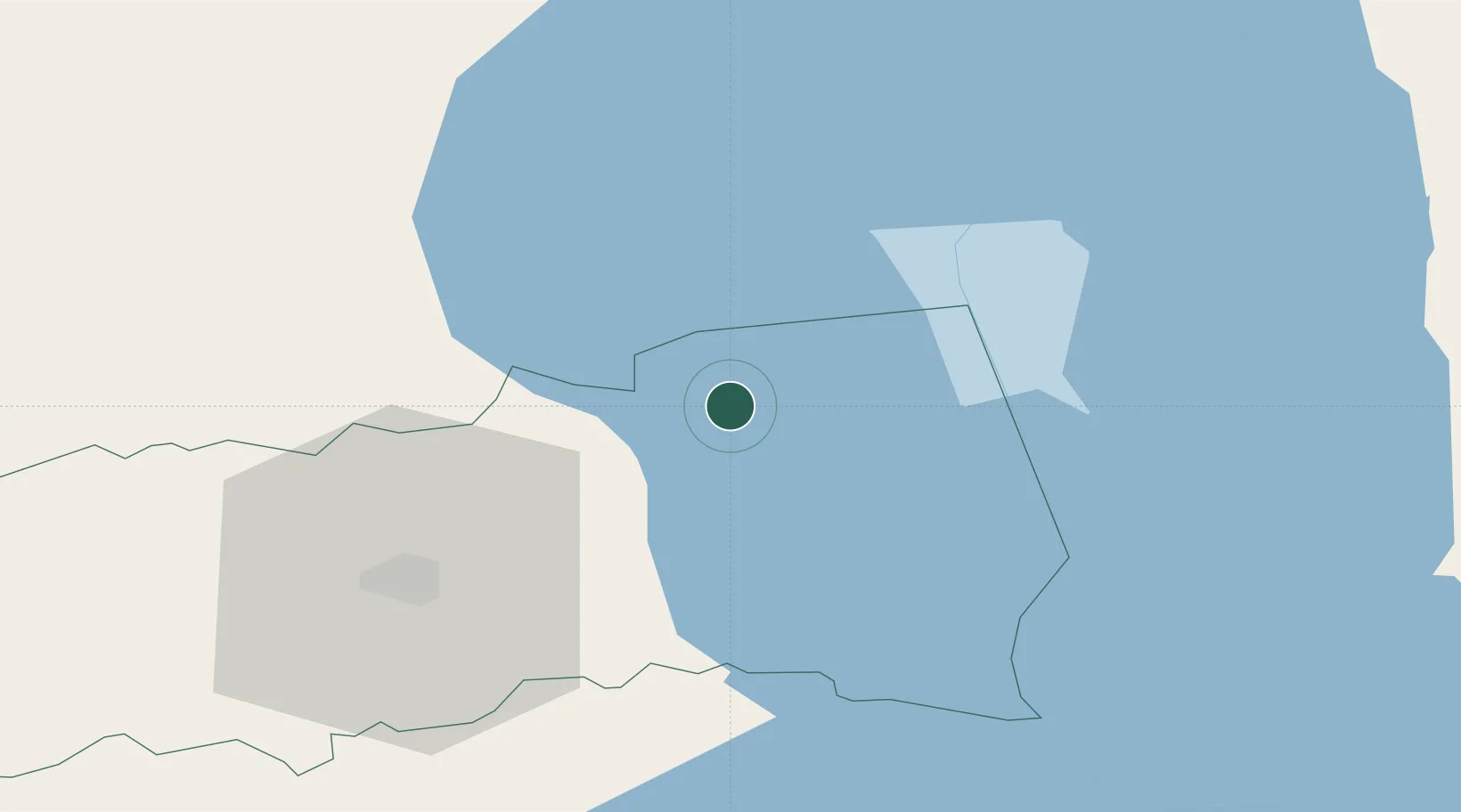
Hub Profile
Place type
Provincial seat
Region
Tartu
Population
430
Time zone
Europe/Tallinn
Elevation
48 m
Location
Nearby Logistics Neighbours
Cities
- 1Pusi6 km
- 2Kolkja6 km
- 3Kallaste8 km
- 4Otsa8 km
- 5Kallaste Rannasadam10 km
Airports
- 1Tartu Airport40 km
- 2Smuravyovo Air Base57 km
- 3Princess Olga Pskov International Airport116 km
- 4Pärnu Airport156 km
- 5Lennart Meri Tallinn Airport161 km
Trade Zones
- 1Port of Sillamäe99 km
- 2Moglino Special Economic Zone - Industrial108 km
- 3Muuga Free Zone145 km
- 4Paldiski Free Zone194 km
- 5Port of Hamina-Kotka210 km
DatabookThe Record of Consolidated Knowledge
Estonia beyond logistics?