Transport Functions
Port
Hub Profile
Region
37
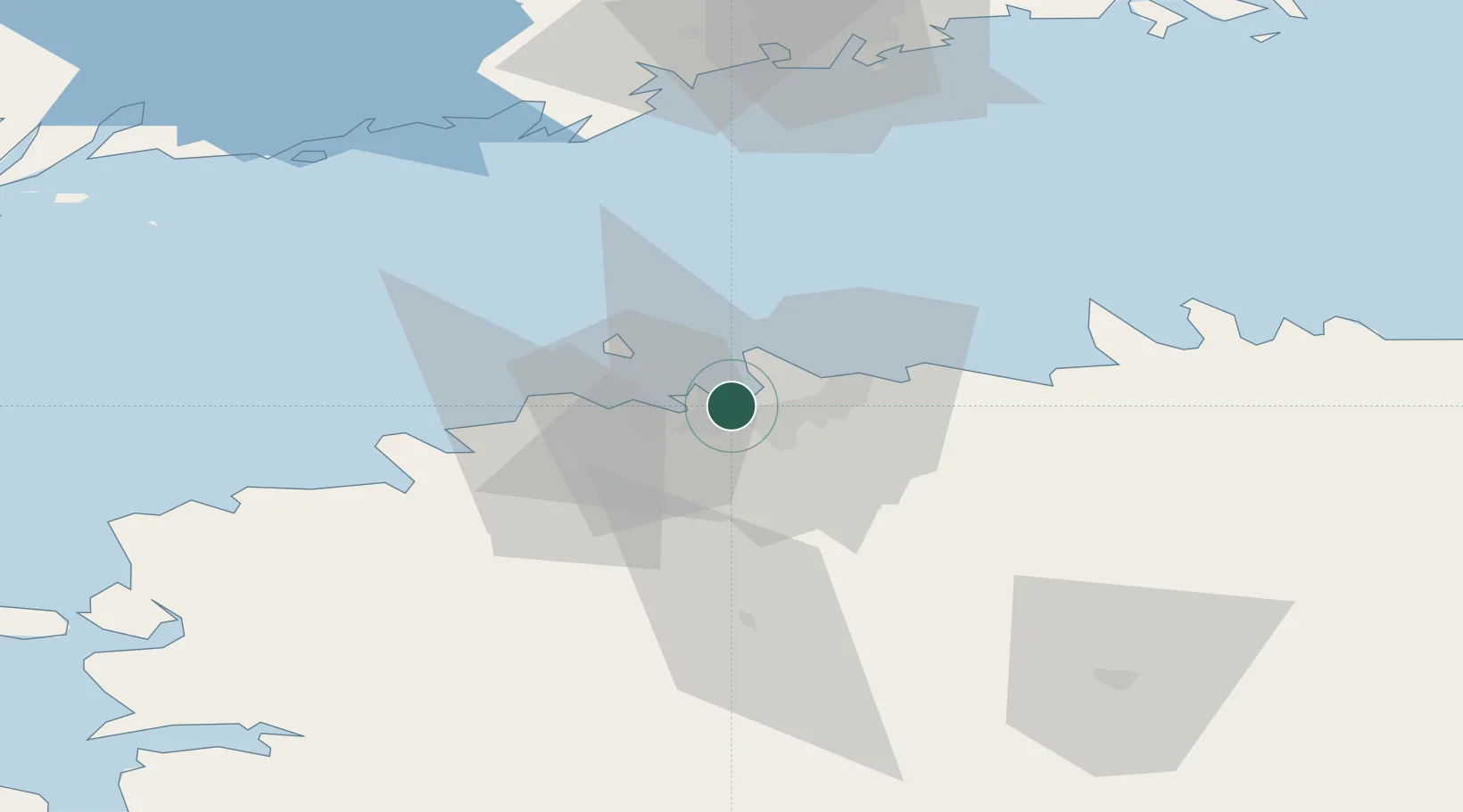
Location
Nearby Logistics Neighbours
Cities
- 1Patareisadam0 km
- 2Lennusadam1 km
- 3Noblessneri1 km
- 4Vanasadam1 km
- 5Hundipea3 km
Ports
- 1Vanasadam - Port of Tallinn1 km
- 2Paljassaare3 km
- 3Lahesuu3 km
- 4Meeruse4 km
- 5Bekkeri5 km
Airports
- 1Tallinn Linnahall Heliport0 km
- 2Lennart Meri Tallinn Airport6 km
- 3Ämari Air Base38 km
- 4Helsinki Vantaa Airport97 km
- 5Pärnu Airport116 km
Trade Zones
- 1Muuga Free Zone23 km
- 2Paldiski Free Zone40 km
- 3Freeport of Hanko113 km
- 4Port of Hamina-Kotka166 km
- 5Port of Sillamäe168 km
DatabookThe Record of Consolidated Knowledge
Estonia beyond logistics?