UN/LOCODE hub · Estonia
EETLT

Tuletorni

58.7833°, 22.7667°
1
Transport functions

Transport Functions

Port
UN/LOCODE

Hub Profile

Region
39
GeoNames

Location

Location of EETLT
Natural Earth 10m (public domain) · 39 · EETLT · 58.78, 22.77GoogleOSMYandex

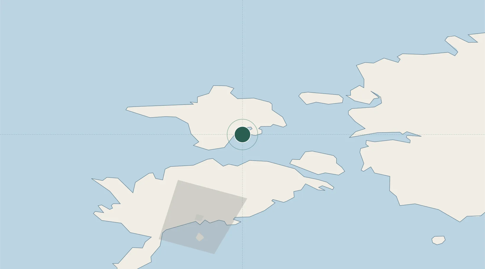
Nearby Logistics Neighbours

Cities
  1. 1Orjaku0 km
  2. 2Kassari Sadam4 km
  3. 3Salinõmme12 km
  4. 4Salinõmme Kalasadam12 km
  5. 5Tärkma15 km
Nearest neighbours — logibook spatial index (haversine) over the source coordinates
Ports
  1. 1Heltermaa19 km
  2. 2Rohukula40 km
  3. 3Saaremaa sadam41 km
  4. 4Virtsu49 km
  5. 5Roomassaare65 km
Nearest neighbours — logibook spatial index (haversine) over the source coordinates
Airports
  1. 1Kärdla Airport23 km
  2. 2Kuressaare Airport63 km
  3. 3Ämari Air Base98 km
  4. 4Pärnu Airport107 km
  5. 5Ruhnu Airfield115 km
Nearest neighbours — logibook spatial index (haversine) over the source coordinates
Trade Zones
  1. 1Paldiski Free Zone97 km
  2. 2Freeport of Hanko117 km
  3. 3Muuga Free Zone140 km
  4. 4Free port of Ventspils170 km
  5. 5Turku Free Zone187 km
Nearest neighbours — logibook spatial index (haversine) over the source coordinates
DatabookThe Record of Consolidated Knowledge
Estonia beyond logistics?
Browse databook

All Sources

LocationsUN/LOCODE
UN/LOCODE — free
Portsthe NGA World Port Index
Public domain (US gov)
AirportsOurAirports
Public domain
Trade Zonesthe World Bank SEZ database
CC BY 4.0
Trade ZonesOpen Zone Map
CC BY
← Estonia locations