Transport Functions
Port
Hub Profile
Place type
Populated place
Region
Tartu
Population
397
Time zone
Europe/Tallinn
Elevation
33 m
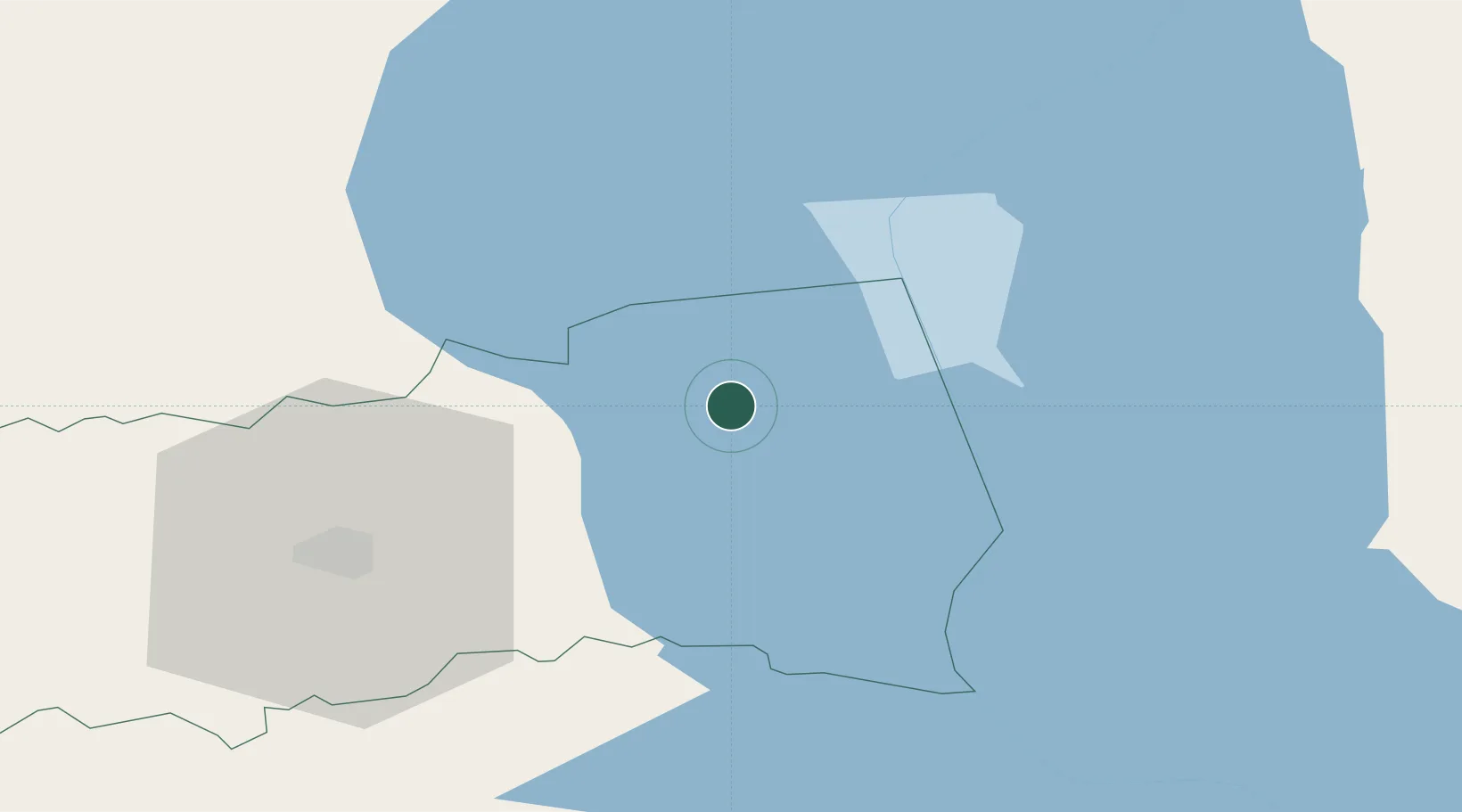
Location
Nearby Logistics Neighbours
Cities
- 1Alatskivi6 km
- 2Varnja Sadam8 km
- 3Pusi10 km
- 4Põdra11 km
- 5Otsa12 km
Airports
- 1Tartu Airport41 km
- 2Smuravyovo Air Base55 km
- 3Princess Olga Pskov International Airport110 km
- 4Ostrov Naval Air Base157 km
- 5Pärnu Airport160 km
Trade Zones
DatabookThe Record of Consolidated Knowledge
Estonia beyond logistics?