Transport Functions
Rail
Road
Hub Profile
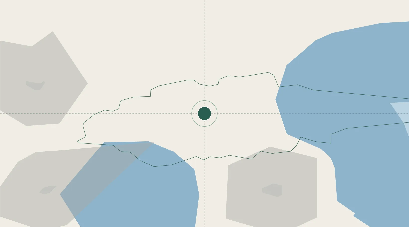
Place type
Regional capital
Region
Jõgevamaa
Population
6,396
Time zone
Europe/Tallinn
Elevation
79 m
Location
Nearby Logistics Neighbours
Cities
- 1Vergi23 km
- 2Mustvee34 km
- 3Raja34 km
- 4Mustvee35 km
- 5Mihkli Sadam35 km
Ports
- 1Kunda87 km
- 2Loksa101 km
- 3Sillamae108 km
- 4Muuga-Port of Tallin116 km
- 5Parnu118 km
Airports
- 1Tartu Airport52 km
- 2Smuravyovo Air Base94 km
- 3Lennart Meri Tallinn Airport115 km
- 4Pärnu Airport117 km
- 5Tallinn Linnahall Heliport121 km
Trade Zones
- 1Muuga Free Zone99 km
- 2Port of Sillamäe107 km
- 3Paldiski Free Zone147 km
- 4Moglino Special Economic Zone - Industrial150 km
- 5Port of Hamina-Kotka194 km
DatabookThe Record of Consolidated Knowledge
Estonia beyond logistics?