Transport Functions
Road
Multimodal
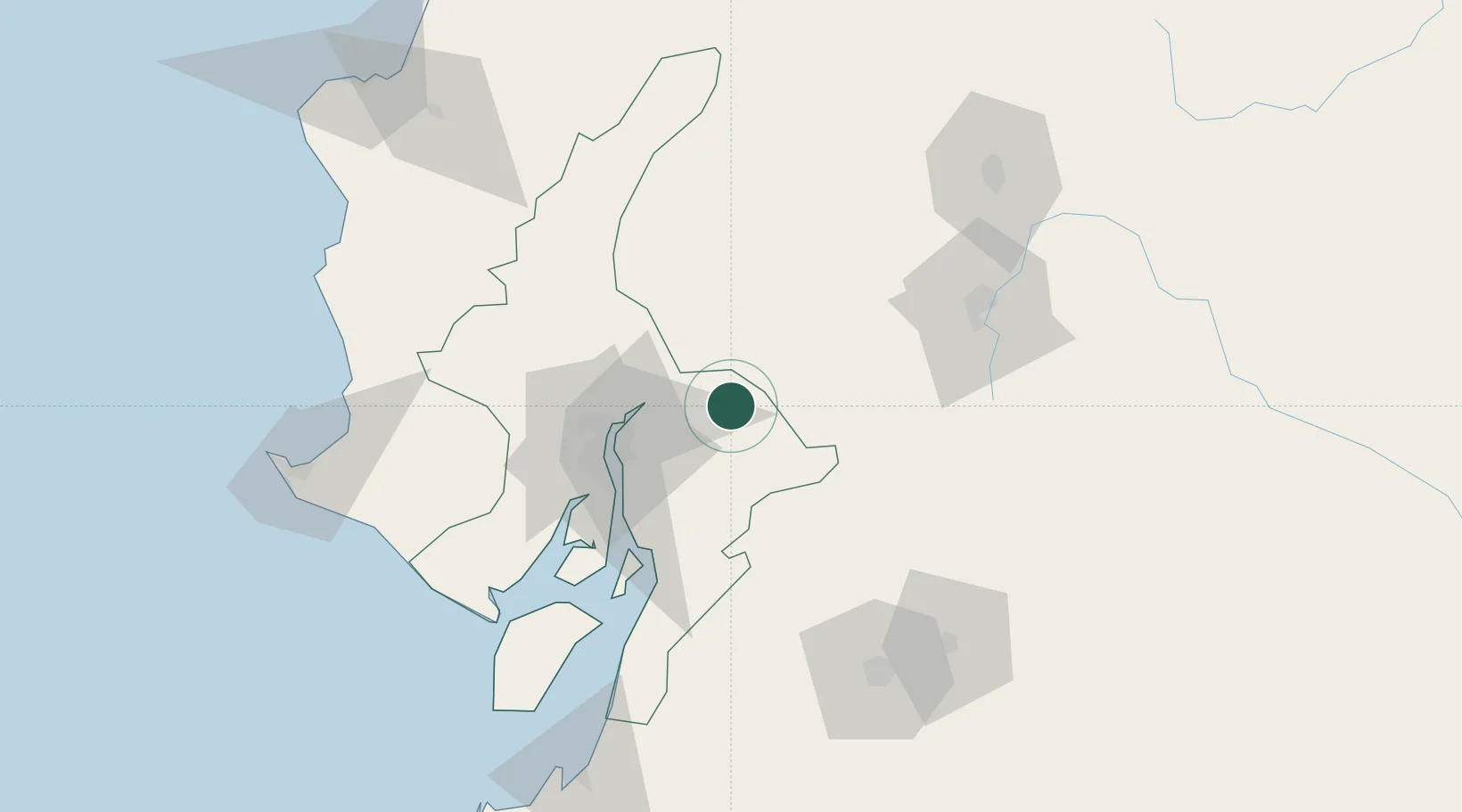
Hub Profile
Place type
Provincial seat
Region
Guayas
Time zone
America/Guayaquil
Elevation
20 m
Location
Nearby Logistics Neighbours
Cities
- 1Naranjito22 km
- 2Yaguachi25 km
- 3Montalvo29 km
- 4Durán44 km
- 5La Puntilla45 km
Ports
- 1Guayaquil49 km
- 2Puerto Maritimo De Guayaquil55 km
- 3Puerto Bolivar150 km
- 4La Libertad161 km
- 5Manta181 km
Airports
Trade Zones
- 1Zona Franca Esmeraldas52 km
- 2Contecon Guayaquil Free Zone55 km
- 3DP World Posorja114 km
- 4Posorja ZofraPort SA Free Zone114 km
- 5Zona Franca del Oro150 km
DatabookThe Record of Consolidated Knowledge
Ecuador beyond logistics?